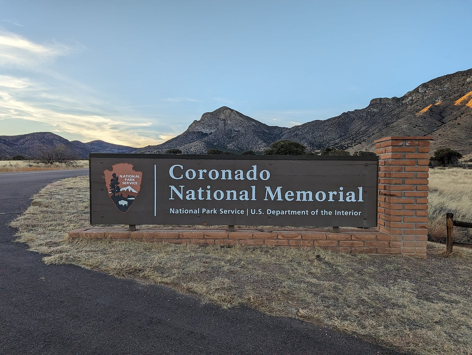
Coronado National Memorial
Coronado National Memorial is a national memorial run by the National Park Service in Cochise County, Arizona. There is no entrance fee. It is open from sunrise to sunset, year-round.
Current notices posted by the managing agency. Checked Sept. 30, 2026.
- Closure: Yaqui Ridge Trail Closure Due to nearby construction and blasting, the 1-mile Yaqui Ridge Trail is closed starting April 13, 2026 until further notice to ensure visitor safety. The closure begins at the junction with Joe’s Canyon Trail, and access beyond this point is not permitted. This affects access to the southern terminus of the Arizona National Scenic Trail. Since April 10, 2026. Until April 30, 2027.
Check current closures and fire restrictions for Coronado National Memorial on the managing agency's own page.
Coronado National Memorial map
Coronado National Memorial boundary from USGS PAD-US or the managing agency, simplified for display. Not for navigation or legal boundaries.
Fire restrictions
No fire restriction recorded for this unit as of Sept. 30, 2026. Restrictions change with the season, so check the current orders below before you go.
Common questions
- Yes. Coronado National Memorial has no entrance fee.
- Yes. Coronado National Memorial is open from sunrise to sunset, year-round.
- Pets are allowed in Coronado National Memorial. On trails, only Crest Trail allows them.
Fees, passes, and hours
Coronado National Memorial has no entrance fee.
Coronado National Memorial is open from sunrise to sunset, year-round.
Sources: nps.gov/coro/planyourvisit/fees, checked 2026-09-29; nps.gov/coro/planyourvisit/hours, checked 2026-09-29.
Entrances and visitor centers
- Coronado National Memorial Visitor CenterVisitor center, year-round: 8 a.m. to 4 p.m.4101 E Montezuma Canyon Road, Hereford, AZ 85615520-366-5515
Source: nps.gov/coro/planyourvisit/hours, checked 2026-09-29.
Pets
Pets are allowed in Coronado National Memorial. On trails, only Crest Trail allows them.
Source: nps.gov/coro/planyourvisit/hiking, checked 2026-09-29.
Getting there
- Nearest town: Sierra Vista, AZ
- No public transit to the park.
Source: nps.gov/coro/planyourvisit/directions, checked 2026-09-29.
Trails
- Coronado Cave TrailTrailhead 0.25 mile west of the visitor center; cave entrance requires a 25-foot scramble.
- Coronado Peak TrailInterpretive climb from Montezuma Pass to Coronado Peak with views into Sonora.
- Joe's Canyon TrailClimbs about 1,000 feet in the first mile with views of Montezuma Canyon and Sonora.
- Yaqui Ridge TrailSpur from Joe's Canyon to Border Monument 102; southern terminus of the Arizona Trail.
- Crest TrailFrom Montezuma Pass to the memorial's northern boundary; continues into Coronado National Forest.
- Windmill TrailFormer ranch road to a historic windmill and corral in grassland habitat.
Source: nps.gov/coro/planyourvisit/hiking, checked 2026-09-29.
What to see
- CaveCoronado CaveLimestone cave about 600 feet long with 20-foot ceilings; bring at least two lights per person.
- OverlookCoronado PeakSweeping views of Sonora, Mexico and the San Pedro and San Rafael Valleys.
Source: nps.gov/coro/planyourvisit/hiking, checked 2026-09-29.
Public lands next to Coronado National Memorial
- National forestCoronado National Memorial borders Coronado National Forest.
- Wilderness areaCoronado National Memorial borders Miller Peak Wilderness.
Measured between the units' boundaries as mapped in USGS PAD-US. Distances are straight line, not driving.
- https://www.nps.gov/state/az/index.htm (accessed 2026-09-29)
- https://www.nps.gov/coro/planyourvisit/fees.htm (accessed 2026-09-29)
- https://www.nps.gov/coro/planyourvisit/hours.htm (accessed 2026-09-29)
- https://www.nps.gov/coro/planyourvisit/hiking.htm (accessed 2026-09-29)
- https://www.nps.gov/coro/planyourvisit/directions.htm (accessed 2026-09-29)
- https://www.nps.gov/coro/planyourvisit/pets.htm (accessed 2026-09-29)