Fort Bowie National Historic Site
Fort Bowie National Historic Site is a national historic site run by the National Park Service in Cochise County, Arizona. There is no entrance fee. It is open from sunrise to sunset, year-round.
Check current closures and fire restrictions for Fort Bowie National Historic Site on the managing agency's own page.
Fort Bowie National Historic Site map
Fort Bowie National Historic Site boundary from USGS PAD-US or the managing agency, simplified for display. Not for navigation or legal boundaries.
Fire restrictions
No fire restriction recorded for this unit as of Sept. 30, 2026. Restrictions change with the season, so check the current orders below before you go.
Common questions
- Yes. Fort Bowie National Historic Site has no entrance fee.
- Yes. Fort Bowie National Historic Site is open from sunrise to sunset, year-round.
- Pets are allowed in Fort Bowie National Historic Site. They are allowed on trails.
- No. Launching, landing or operating a drone is not allowed in Fort Bowie National Historic Site.
Fees, passes, and hours
Fort Bowie National Historic Site has no entrance fee.
Fort Bowie National Historic Site is open from sunrise to sunset, year-round.
Sources: nps.gov/fobo/planyourvisit/fees, checked 2026-09-29; nps.gov/fobo/planyourvisit/hours, checked 2026-09-29.
Entrances and visitor centers
- Fort Bowie National Historic Site Visitor CenterVisitor center, year-round: 8:30 a.m. to 4 p.m.520-549-6751
Source: nps.gov/fobo/fobo_linked_data.json, checked 2026-09-29.
Pets
Pets are allowed in Fort Bowie National Historic Site. They are allowed on trails.
Source: nps.gov/fobo/planyourvisit/, checked 2026-09-29.
Getting there
- Nearest town: Bowie, AZ, 13 miles
- 116 miles from Tucson, AZ
- The park warns that GPS and phone map directions can send you the wrong way: follow the park's own directions.
Source: nps.gov/fobo/planyourvisit/directions, checked 2026-09-29.
Trails
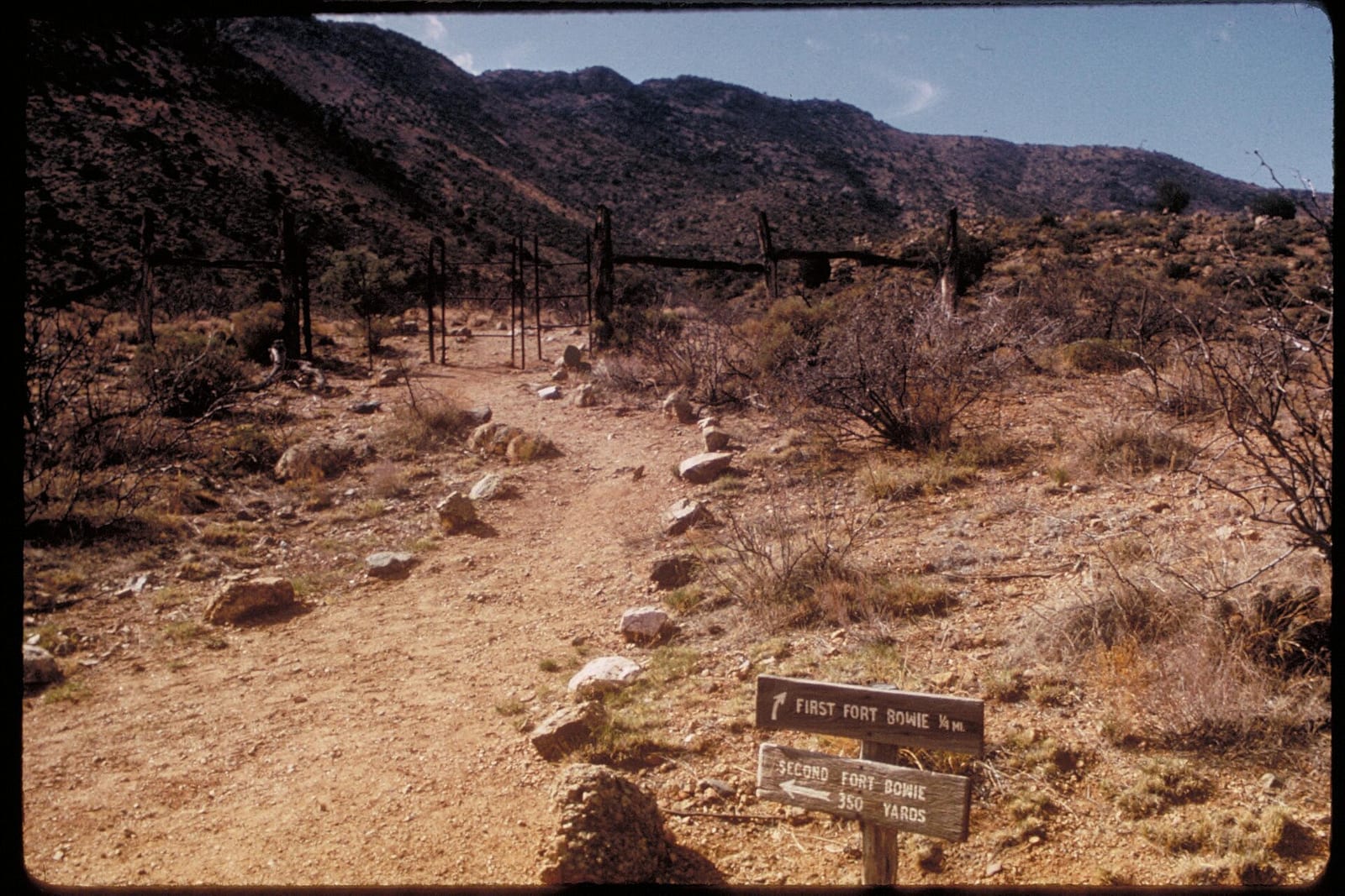
- Fort Bowie TrailHike-in access past Butterfield Stage Station, Apache Spring, and first and second fort ruins.
Source: nps.gov/fobo/planyourvisit/, checked 2026-09-29.
What to see
- Historic siteFort Bowie ruinsRuins of the frontier army post at Apache Pass from the Chiricahua Apache conflicts.
- SpringApache SpringHistoric spring along the interpretive trail to the fort ruins.
Source: nps.gov/fobo/planyourvisit/, checked 2026-09-29.
Public lands next to Fort Bowie National Historic Site
- Wilderness areaDos Cabezas Mountains Wilderness is 2.9 miles away, straight line between the two boundaries.
Measured between the units' boundaries as mapped in USGS PAD-US. Distances are straight line, not driving.
- https://www.nps.gov/state/az/index.htm (accessed 2026-09-29)
- https://www.nps.gov/fobo/planyourvisit/fees.htm (accessed 2026-09-29)
- https://www.nps.gov/fobo/planyourvisit/hours.htm (accessed 2026-09-29)
- https://www.nps.gov/fobo/planyourvisit/index.htm (accessed 2026-09-29)
- https://www.nps.gov/fobo/planyourvisit/directions.htm (accessed 2026-09-29)
- https://www.nps.gov/fobo/learn/management/superintendent-s-compendium.htm (accessed 2026-09-29)
- https://www.nps.gov/fobo/fobo_linked_data.json (accessed 2026-09-29)