State park
Oracle State Park
Oracle State Park is a state park in Pinal County, Arizona. Day use costs $10 per vehicle (1 adult) / $20 (2-4 adults); bicycle $5. Hours: Winter Oct 1-Apr 30 8 a.m.-4 p.m. (exit by 5 p.m.); summer May 1-Sep 30 6 a.m.-3 p.m. (exit by 4 p.m.).
Oracle State Park map
Oracle State Park boundary from USGS PAD-US or the managing agency, simplified for display. Not for navigation or legal boundaries.
Fire restrictions
Fire restriction orders for this unit are not tracked here yet. Restrictions change with the season, so check the current orders before any campfire, stove or target shooting.
Common questions
- Entry to Oracle State Park costs $10 per vehicle (1 adult) / $20 (2-4 adults); bicycle $5. Hours: Winter Oct 1-Apr 30 8 a.m.-4 p.m. (exit by 5 p.m.); summer May 1-Sep 30 6 a.m.-3 p.m. (exit by 4 p.m.).
- No, Oracle State Park does not have cabins available.
Before you go
- Flush restrooms
Trails
- Bellota/Geology Trail Loop Hikers only; no dogs
- Windy Ridge Trail Loop Hikers only; no dogs
- Nature Trail Loop Hikers, leashed dogs, and mountain bikes allowed
- Geology Trail Hikers only; no dogs
- Granite Overlook Loop Hikers and leashed dogs
- Arizona Trail Loop Uses Arizona National Scenic Trail through the park
- Mariposa Trail Shared-use to American Avenue trailhead
- Windmill Loop Trail Shared-use with horses and bikes
- Powerline Trail Shared-use corridor through the park
What to see
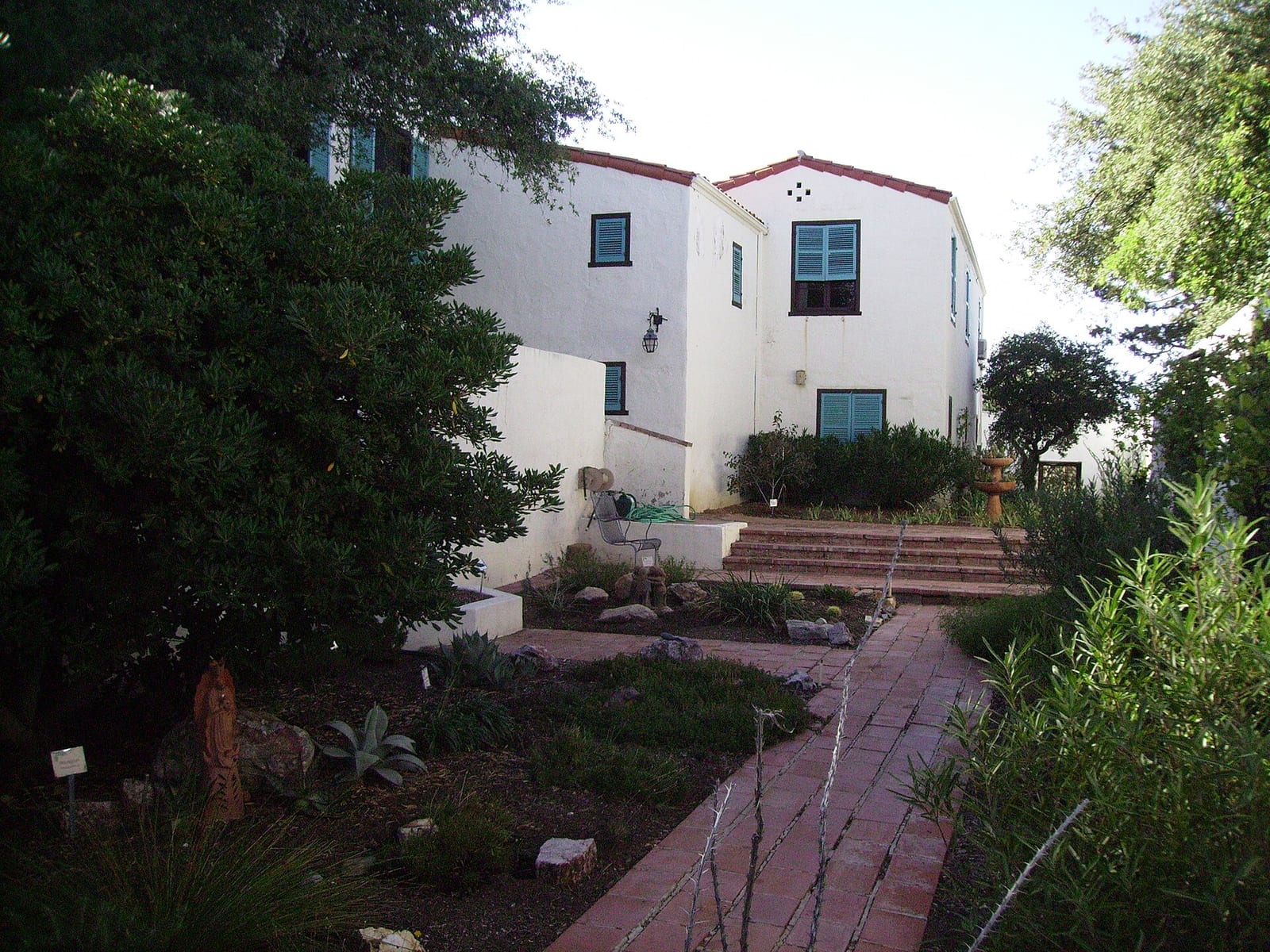
- Historic site Kannally Ranch House 1930s Mediterranean Revival ranch house museum
- Feature International Dark Sky Park Star parties and night-sky programming
- Feature Arizona Trail crossing Section of the Arizona National Scenic Trail passes through the park
Public lands next to Oracle State Park
- National forestOracle State Park borders Coronado National Forest.
Measured between the units' boundaries as mapped in USGS PAD-US. Distances are straight line, not driving.
- https://azstateparks.com/oracle (accessed 2026-09-29)
- https://azstateparks.com/oracle/things-to-do/trails (accessed 2026-09-29)