Carrizo Plain National Monument
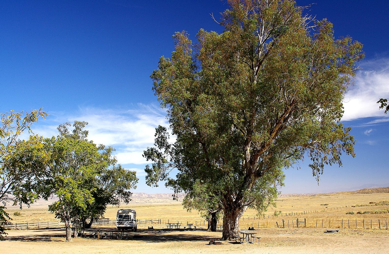
Camping is allowed at Carrizo Plain National Monument, in designated sites only. Carrizo Plain National Monument is a BLM unit in San Luis Obispo County, California.
Check current closures and fire restrictions for Carrizo Plain National Monument on the managing agency's own page.
Carrizo Plain National Monument map
Carrizo Plain National Monument boundary from USGS PAD-US or the managing agency, simplified for display. Not for navigation or legal boundaries.
Fire restrictions
Fire restriction orders for this unit are not tracked here yet. Restrictions change with the season, so check the current orders before any campfire, stove or target shooting.
Common questions
- Camping is allowed at Carrizo Plain National Monument, in designated sites only. Stays are limited to 14 days in any 28-day period.
- Yes, dogs are allowed at Carrizo Plain National Monument.
- Carrizo Plain National Monument is managed by the BLM's Bakersfield Field Office.
- Carrizo Plain National Monument's listed activities include Wildlife Viewing, Hiking, Photography, Birding, Scenic Driving.
Scenic drives
- Soda Lake Road graded gravel
Camping at Carrizo Plain National Monument
Designated sites only Stays are limited to 14 days in any 28-day period.
Named camping areas: KCL Campground, Selby Campground.
Getting there
- 5 miles from California Valley , 60 miles from San Luis Obispo
- High-clearance vehicle recommended
- Limited cell service
- Nearest fuel: 15 miles
Visitor centers
- Goodwin Education Center 661-391-6191 (seasonal)
Trails
- Soda Lake Overlook About 800-ft steep packed trail to overlook of Soda Lake.
- Soda Lake Boardwalk Mostly flat trail to an 816-ft recycled-plastic boardwalk on the lake shore.
- Painted Rock Trail Pedestrian-only trail to Painted Rock; closed Mar 1-Jul 15 except guided tours.
- Wallace Creek Trail Self-guided interpretive trail along a San Andreas Fault offset.
- Caliente Ridge Trail Ridge trail with panoramic views of the plain and Temblor Range.
Public lands next to Carrizo Plain National Monument
- National wildlife refugeCarrizo Plain National Monument borders Bitter Creek National Wildlife Refuge.
- National forestLos Padres National Forest is 2.1 miles away, straight line between the two boundaries.
Measured between the units' boundaries as mapped in USGS PAD-US. Distances are straight line, not driving.
- https://www.blm.gov/visit/carrizo-plain-national-monument (accessed 2026-09-28)
- https://www.blm.gov/programs/national-conservation-lands/california/carrizo-plain-national-monument (accessed 2026-09-28)
- https://www.blm.gov/visit/kcl-campground (accessed 2026-09-29)
- https://www.blm.gov/visit/selby-campground (accessed 2026-09-29)
- https://www.blm.gov/visit/soda-lake-overlook (accessed 2026-09-29)
- https://www.blm.gov/visit/soda-lake-boardwalk (accessed 2026-09-29)
- https://www.blm.gov/sites/blm.gov/files/documents/files/media-center-public-room-california-carrizo-plain-national-monument-recreation-map-and-guide.pdf (accessed 2026-09-29)