Angeles National Forest
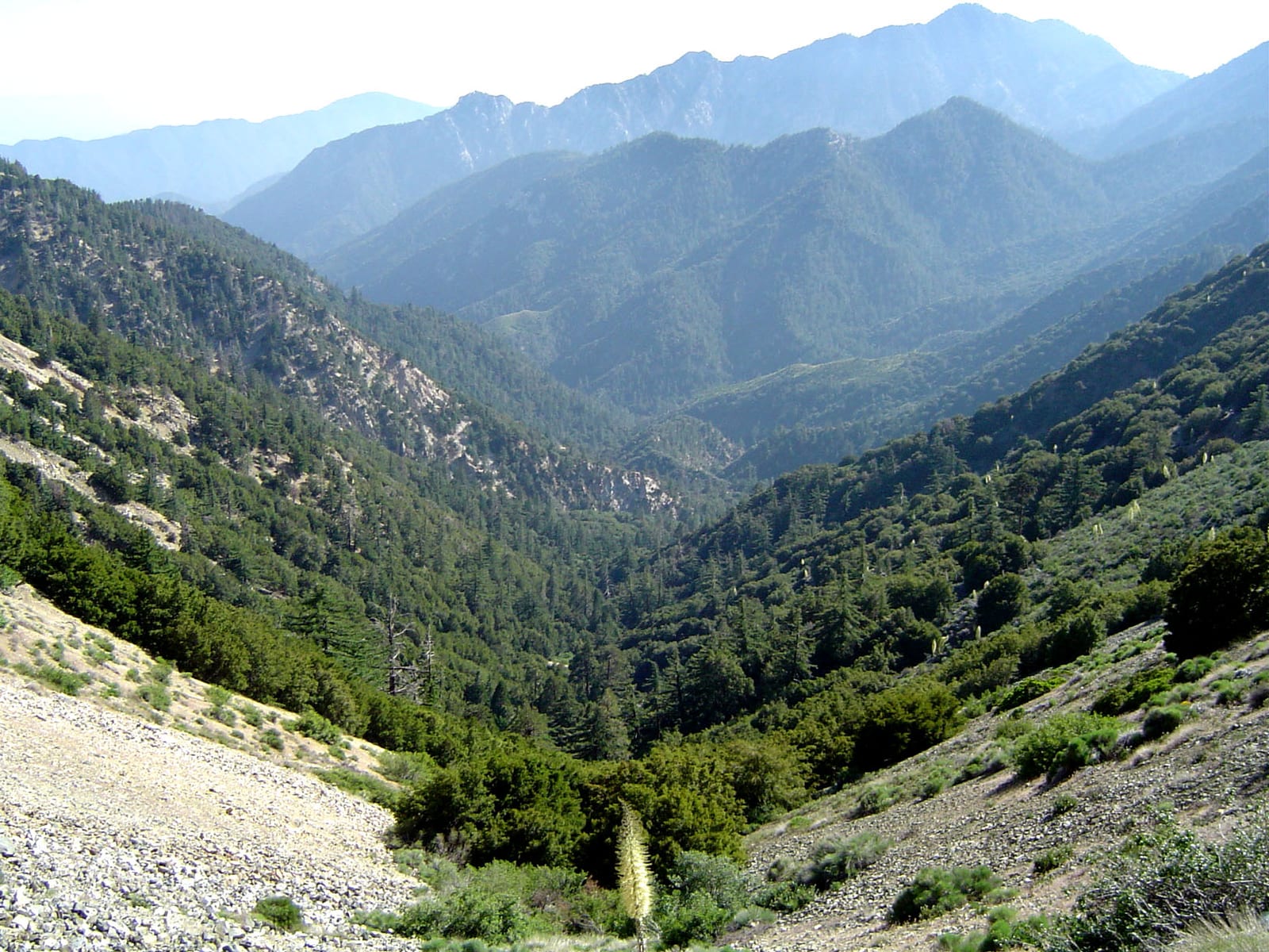
Angeles National Forest is a national forest in California.
Current notices posted by the managing agency. Checked Sept. 30, 2026.
- Closure: Rincon-Redbox Road (2N24) Closure A segment of Rincon-Redbox Road (2N24.3) is closed beginning from State Route 39 on the east to Pine Mountain on the west due to an impassible rock slide, an uneven road surface, and limited opportunities to safely turn around. The purpose of this closure is to provide for public safety.The… Since July 31, 2026.
- Closure: San Dimas Experimental Forest Closure The San Dimas Experimental Forest, located north of Glendora, is currently closed to public recreation activities. The reason for this closure is that the Experimental Forest's primary purpose is research. Many long-term climate, soil, air pollution, erosion, vegetation, wildlife, and fire studies… Since March 23, 2026.
- Closure: Eaton Fire Area Closure In effort to protect the public and to facilitate natural recovery of the resources affected by the Eaton Fire, this closure extends the Eaton Fire Area Closure through December 31, 2027.The following roads and trails remain closed:RoadsMount Wilson Toll Road (below Mt Wilson Trail) Mount Wilson… Since Jan. 7, 2026.
- Closure: Williamson Rock Area and Trail Closure Hikers and equestrians along the Pacific Crest Trail may be affected by a temporary closure of the Williamson Rock area of the Angeles National Forest. This closure (Forest Order No. 05-01-24-04), in effect through December 31, 2026, is for the protection of natural resources, specifically the… Since June 14, 2024.
Check current closures and fire restrictions for Angeles National Forest on the managing agency's own page.
Angeles National Forest map
Angeles National Forest boundary from USGS PAD-US or the managing agency, simplified for display. Not for navigation or legal boundaries.
Fire restrictions
One fire restriction order is recorded for this unit as of Sept. 30, 2026. Each links the signed order.
- Fire Danger Level Elevated to "Very High" Effective July 24, 2026. Effective July 24, 2026, fire danger levels have increased to “VERY HIGH” at the Angeles National Forest. The forest has taken this step to enhance public awareness that wildfire probability increases as temperatures rise and vegetation dries out. Despite the change, there are no new campfire…
Camping on Angeles National Forest
Fire restrictions change by district and season: check the current alerts and restrictions before you go.
Angeles National Forest maps
- Interactive forest map from the Forest Service
- Motor Vehicle Use Maps: which roads are open to which vehicles, and so where you can legally drive to a dispersed site
- Forest visitor map
Ranger district offices
| Acton Work Center | Crown Valley Road Acton, CA | 661-269-2808 | Open Monday, Tuesday, and Friday: 8 a.m. - 4:30 p.m. Closed 1 p.m. |
| Angeles National Forest | N. Santa Anita Ave Arcadia, CA | 626-574-1613 | M-F 8 a.m.-4:30p.m (Closed between 1:00 - 1:30 p.m.) |
| Big Pines Visitor Center (visitor center) | Wrightwood, CA | 760-249-3504 | Open Saturday & Sunday: 10 a.m. - 4 p.m. |
| Chilao Visitor Center (visitor center) | LA Canada, CA | 626-796-5541 | Open - Saturday & Sunday: 9 a.m. - 3 p.m. |
| Clear Creek Information Station | ada Flintridge, CA | N/A | N/A |
| Crystal Lake Visitor Center (visitor center) | N. Crystal Lake Road Azusa, CA | N/A | Open Saturday & Sunday only from 9 a.m. - 4 p.m. based upon volunteer |
| Los Angeles Gateway District | San Fernando, CA | 818-899-1900 | Open Monday- Friday: 8 a.m. - 4:30 p.m. Closed 1 p.m. - 1:30 p.m. for lunch. |
| Mount Baldy Visitor Center (visitor center) | Mount Baldy Road Mount Baldy, CA | 909-982-2829 | Open Saturday from 8 a.m. - 2 p.m. & Sunday from 11 a.m. - 3 p.m. |
| San Gabriel Canyon Gateway Center | N. San Gabriel Canyon Road Azusa, CA | 626-969-1012 | Open Saturday & Sunday from 7 a.m. - 2 p.m. |
| San Gabriel Canyon Off-Highway Vehicle (OHV) Fee Booth & Info Center | N San Gabriel Canyon Rd Azusa, CA | 626-910-1235 | Open - Saturday & Sunday from 8 a.m. - 4 p.m. |
| San Gabriel Mountains National Monument | N. Wabash Avenue Glendora, CA | 626-335-1251 | Open Monday-Friday from 8 a.m. - 4:30 p.m. Closed daily from 1 |
Fishing and water
Fishing inside the boundary: Jackson Lake fishing , with stocking records and species on fishypedia.com.
Public lands next to Angeles National Forest
- Wilderness areaMagic Mountain Wilderness lies inside Angeles National Forest.
- Wilderness areaPleasant View Ridge Wilderness lies inside Angeles National Forest.
- Wilderness areaSan Gabriel Wilderness lies inside Angeles National Forest.
- Wilderness areaSheep Mountain Wilderness lies inside Angeles National Forest.
- State parkAngeles National Forest borders Castaic Lake State Recreation Area.
- Wilderness areaAngeles National Forest borders Cucamonga Wilderness.
- State parkAngeles National Forest borders Hungry Valley State Vehicular Recreation Area, a state park.
- National forestAngeles National Forest borders Los Padres National Forest.
Measured between the units' boundaries as mapped in USGS PAD-US. Distances are straight line, not driving.
- https://www.fs.usda.gov/r05/angeles/offices (accessed 2026-09-28)
- https://www.fs.usda.gov/r05/angeles (accessed 2026-09-28)