Tahoe National Forest
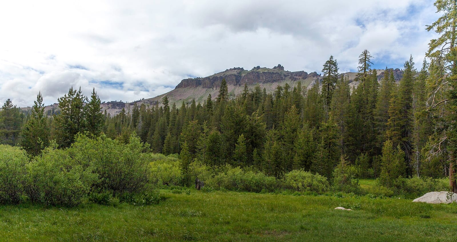
Tahoe National Forest covers 850,000 acres across California.
Current notices posted by the managing agency. Checked Sept. 30, 2026.
- Closure: Floriston Fire Closure To provide for public safety during fire suppression efforts and to keep members of the public a safe distance from fire activity, Tahoe National Forest has issued a forest closure order for national forest lands impacted by the Floriston Fire. The closure boundary includes all Tahoe National… Since Sept. 18, 2026.
- Closure: Elephant Fire Closure Closure of identified forest roads and trails within the Sierraville Ranger District of the Tahoe National Forest and the Carson Ranger District on the Humboldt-Toiyabe National Forest. Since July 13, 2026.
- Closure: Signal Peak Trail Closure Closure of Signal Peak Trail to allow for high-voltage powerline repair. Since June 16, 2026.
- Closure: Gauntlet Stewardship IRTC Closure In response to unhealthy forest conditions, and the need to enhance wildland fire defense in the area, the Tahoe National Forest is treating approximately 1375 acres to the south of Highway 49 in the areas of Forest City, Pliocene Ridge, and Table Mountain. For public safety, the project area will… Since June 2, 2026.
- Closure: Alpine Meadows Stewardship Agreement Closure This order closes the Alpine Meadows Project area to allow forest restoration work to take place. Since May 1, 2026.
- Closure: Alder 89 Timber Sale Closure Closure of Alder 89 WUI Timber Sale area. Since May 1, 2026.
- Closure: Boca Stewardship Agreement Closure Closure of the Boca Stewardship Agreement project area to allow for wildfire risk reduction work. Since May 1, 2026.
- Closure: Rattlesnake Road Closure Closure of Rattlesnake Road to allow for PG&E to complete the Lake Fordyce Dam Seepage Mitigation Project. Since May 1, 2026.
- Closure: Big Chief Sale Closure This order closes forest system roads and trails within the Big Chief project area. This closure is to provide for public safety while 675 acres of forest are treated to enhance wildfire defense in the area. Since May 1, 2026.
- Closure: Woodchopper Timber Sale Closure Closure of the Woodchopper project area to allow for timber removal and wildfire risk reduction work. Since May 1, 2026.
3 more notices at the agency link below.
Check current closures and fire restrictions for Tahoe National Forest on the managing agency's own page.
Tahoe National Forest map
Tahoe National Forest boundary from USGS PAD-US or the managing agency, simplified for display. Not for navigation or legal boundaries.
Fire restrictions
2 fire restriction orders are recorded for this unit as of Sept. 30, 2026. Each links the signed order.
- Stage 1 Fire Restrictions Effective June 26, 2026. Stage 1 fire restrictions began June 26, 2026. To protect natural resources and provide for public safety, the following acts are prohibited within the Tahoe National Forest:1. Building, maintaining, attending, or using a fire, campfire, or stove fire, except within a charcoal grill or fire ring…
- Camping and Campfire Restrictions-Truckee and Sierraville Districts Effective June 30, 2025. To provide for public safety and to protect natural resources, the following acts are prohibited within the Truckee and Sierraville Ranger Districts of the Tahoe National Forest:1. Camping is prohibited in the Restricted Use Areas described in Appendix A and shown on the maps in Appendices B and C…
Common questions
- Tahoe National Forest has 5 district offices: American River Ranger District in Foresthill Rd Foresthill (530-492-5631), Sierraville Ranger District in So. Lincoln St. Sierraville (530-994-3401), Tahoe National Forest Headquarters in Coyote St. Nevada City (530-265-4531), Truckee Ranger District in Stockrest Springs Rd. Truckee (530-587-3558), and Yuba River Ranger District in Camptonville (530-265-4531).
- Tahoe National Forest is managed through 4 ranger districts: American River Ranger District, Sierraville Ranger District, Truckee Ranger District, and Yuba River Ranger District.
Camping on Tahoe National Forest
Fire restrictions change by district and season: check the current alerts and restrictions before you go.
Tahoe National Forest maps
- Interactive forest map from the Forest Service
- Motor Vehicle Use Maps: which roads are open to which vehicles, and so where you can legally drive to a dispersed site
- Forest visitor map
Ranger district offices
| American River Ranger District | Foresthill Rd Foresthill, CA | 530-492-5631 | 8:30 a.m.-4 p.m., Monday-Friday |
| Sierraville Ranger District | So. Lincoln St. Sierraville, CA | 530-994-3401 | 8:30 a.m. - 12:30 p.m., Monday-Friday |
| Tahoe National Forest Headquarters | Coyote St. Nevada City, CA | 530-265-4531 | 9 a.m. - 3 p.m., Monday - Friday |
| Truckee Ranger District | Stockrest Springs Rd. Truckee, CA | 530-587-3558 | 9 a.m. - 4 p.m., Monday-Friday |
| Yuba River Ranger District | Camptonville, CA | 530-265-4531 | Open by appointment only. |
Fishing and water
Fishing inside the boundary: Fuller Lake fishing , Jackson Meadows Reservoir fishing , Packer Lake fishing , Prosser Reservoir fishing , Salmon Lake, Upper fishing , Sardine Lake Lower fishing , Sugar Pine Reservoir fishing , Boca Reservoir water level , Prosser Creek Reservoir water level , Stampede Reservoir water level , with stocking records and species on fishypedia.com.
- Lake Valley Reservoir fishing (0.3 miles outside the boundary): its fishing and stocking record on fishypedia.com.
- Coldstream Pond, Donner Lake Park fishing (0.4 miles outside the boundary): its fishing and stocking record on fishypedia.com.
- Donner Lake fishing (0.5 miles outside the boundary): its fishing and stocking record on fishypedia.com.
- Scotts Flat Reservoir fishing (0.9 miles outside the boundary): its fishing and stocking record on fishypedia.com.
- Gold Lake fishing (1 mile outside the boundary): its fishing and stocking record on fishypedia.com.
Public lands next to Tahoe National Forest
- Wilderness areaGranite Chief Wilderness lies inside Tahoe National Forest.
- State parkTahoe National Forest borders Donner Memorial State Park.
- National forestTahoe National Forest borders Eldorado National Forest.
- National forestTahoe National Forest borders Humboldt-Toiyabe National Forest.
- National forestTahoe National Forest borders Lake Tahoe Basin Management Unit, a national forest.
- State parkTahoe National Forest borders Malakoff Diggins State Historic Park.
- National forestTahoe National Forest borders Plumas National Forest.
- State parkTahoe National Forest borders South Yuba River State Park.
Measured between the units' boundaries as mapped in USGS PAD-US. Distances are straight line, not driving.
- https://www.fs.usda.gov/r05/tahoe/offices (accessed 2026-09-28)
- https://www.fs.usda.gov/r05/tahoe (accessed 2026-09-28)