Mojave National Preserve
Mojave National Preserve is a national preserve run by the National Park Service in San Bernardino County, California. There is no entrance fee. It is open 24 hours a day.
Current notices posted by the managing agency. Checked Sept. 30, 2026.
- Closure: Hart Mine Road Closed Hart Mine Road Closed. Since Nov. 28, 2025. Until Dec. 31, 2027.
- Closure: Kelso Depot Visitor Center closed Kelso Depot Visitor Center is closed for rehabilitation of the heating and cooling system. We expect to reopen the depot in 2026. The restrooms beside the depot are open.
Check current closures and fire restrictions for Mojave National Preserve on the managing agency's own page.
Mojave National Preserve map
Mojave National Preserve boundary from USGS PAD-US or the managing agency, simplified for display. Not for navigation or legal boundaries.
Fire restrictions
One fire restriction order is recorded for this unit as of Sept. 30, 2026. Each links the signed order.
- Fire restrictions in place Fire restrictions are in place at Mojave National Preserve and Castle Mountains National Monument. Wood and charcoal fires are not permitted. Most camp stoves are. See fire restriction order for additional details.
Common questions
- Yes. Mojave National Preserve has no entrance fee.
- Mojave National Preserve is open 24 hours a day.
Fees, passes, and hours
Mojave National Preserve has no entrance fee.
Mojave National Preserve is open 24 hours a day.
Sources: nps.gov/moja/planyourvisit/fees, checked 2026-09-28; nps.gov/moja/planyourvisit/basicinfo, checked 2026-09-28.
Entrances and visitor centers
- Kelso Depot Visitor CenterVisitor center, year-round: 9 a.m. to 5 p.m.Visitor center, year-round: 9 a.m. to 5 p.m.Visitor center, year-round: 9 a.m. to 5 p.m.(760) 252-6100
- Hole-in-the-Wall Visitor CenterVisitor center, year-round: 10 a.m. to 4 p.m.Visitor center, year-round: 10 a.m. to 4 p.m.Visitor center, year-round: 9 a.m. to 5 p.m.(760) 252-6100
- Barstow Headquarters Information DeskVisitor center, year-round: 9 a.m. to 5 p.m.Visitor center, year-round: 9 a.m. to 3 p.m.Visitor center, year-round: 9 a.m. to 3 p.m.
Source: nps.gov/moja/moja_linked_data.json, checked 2026-09-28.
Pets
They are allowed on trails.
Source: nps.gov/moja/planyourvisit/pets, checked 2026-09-28.
Trails
- Hole-in-the-Wall Nature TrailDesert plant ID walk between campground and visitor center.
- Lava TubeShort hike to an underground lava tube.
- Rock Springs TrailInterpretive trail covering Rock Springs history.
- Rings LoopAscends Banshee Canyon using metal rings at Hole-in-the-Wall.
- Kelso DunesClimb the preserve's most popular sand dune.
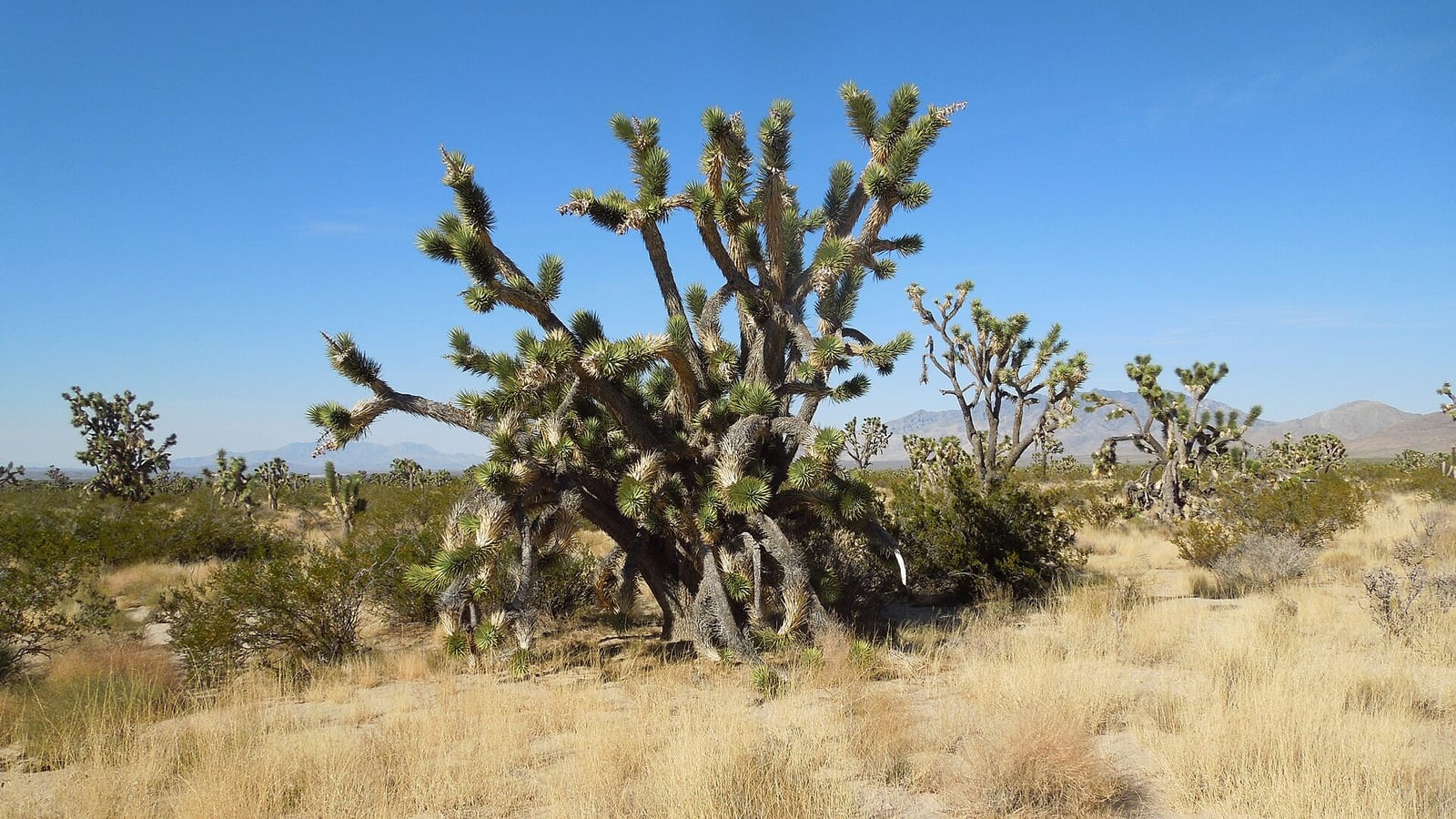
- Teutonia PeakJoshua tree forest to rocky peak overlooking Cima Dome.
- Barber PeakLoop encircling Barber Peak west of Hole-in-the-Wall Campground.
- Mid Hills to Hole-in-the-WallWash hike through cactus and the Hackberry Fire burn area.
Source: nps.gov/moja/planyourvisit/established-trails, checked 2026-09-29.
What to see
- HighlightKelso DunesLarge sand dune field; popular moderate climb.
- CanyonHole-in-the-Wall / Rings LoopNarrow Banshee Canyon climbed with metal rings set in rock.
- CaveLava TubeShort established trail to a volcanic lava tube.
- PeakTeutonia Peak / Cima Dome viewsRocky summit with expansive views of Cima Dome Joshua tree country.
- Historic siteKelso DepotHistoric railroad depot serving as the main visitor center.
Source: nps.gov/moja/planyourvisit/established-trails, checked 2026-09-29.
Public lands next to Mojave National Preserve
- Wilderness areaMojave Wilderness lies inside Mojave National Preserve.
- Wilderness areaMojave National Preserve borders Bristol Mountains Wilderness.
- National Park Service unitMojave National Preserve borders Castle Mountains National Monument.
- Wilderness areaMojave National Preserve borders Kelso Dunes Wilderness.
- BLM unitMojave National Preserve borders Mojave Trails National Monument.
- State parkMojave National Preserve borders Providence Mountains State Recreation Area.
- Wilderness areaClipper Mountain Wilderness is 0.1 miles away, straight line between the two boundaries.
- Wilderness areaKingston Range Wilderness is 0.9 miles away, straight line between the two boundaries.
Measured between the units' boundaries as mapped in USGS PAD-US. Distances are straight line, not driving.
- https://www.nps.gov/state/ca/index.htm (accessed 2026-09-29)
- https://www.nps.gov/moja/planyourvisit/pets.htm (accessed 2026-09-28)
- https://www.nps.gov/moja/planyourvisit/basicinfo.htm (accessed 2026-09-28)
- https://www.nps.gov/moja/planyourvisit/fees.htm (accessed 2026-09-28)
- https://www.nps.gov/moja/planyourvisit/directions.htm (accessed 2026-09-28)
- https://www.nps.gov/moja/moja_linked_data.json (accessed 2026-09-28)
- https://www.nps.gov/moja/planyourvisit/established-trails.htm (accessed 2026-09-29)