Redwood National and State Parks
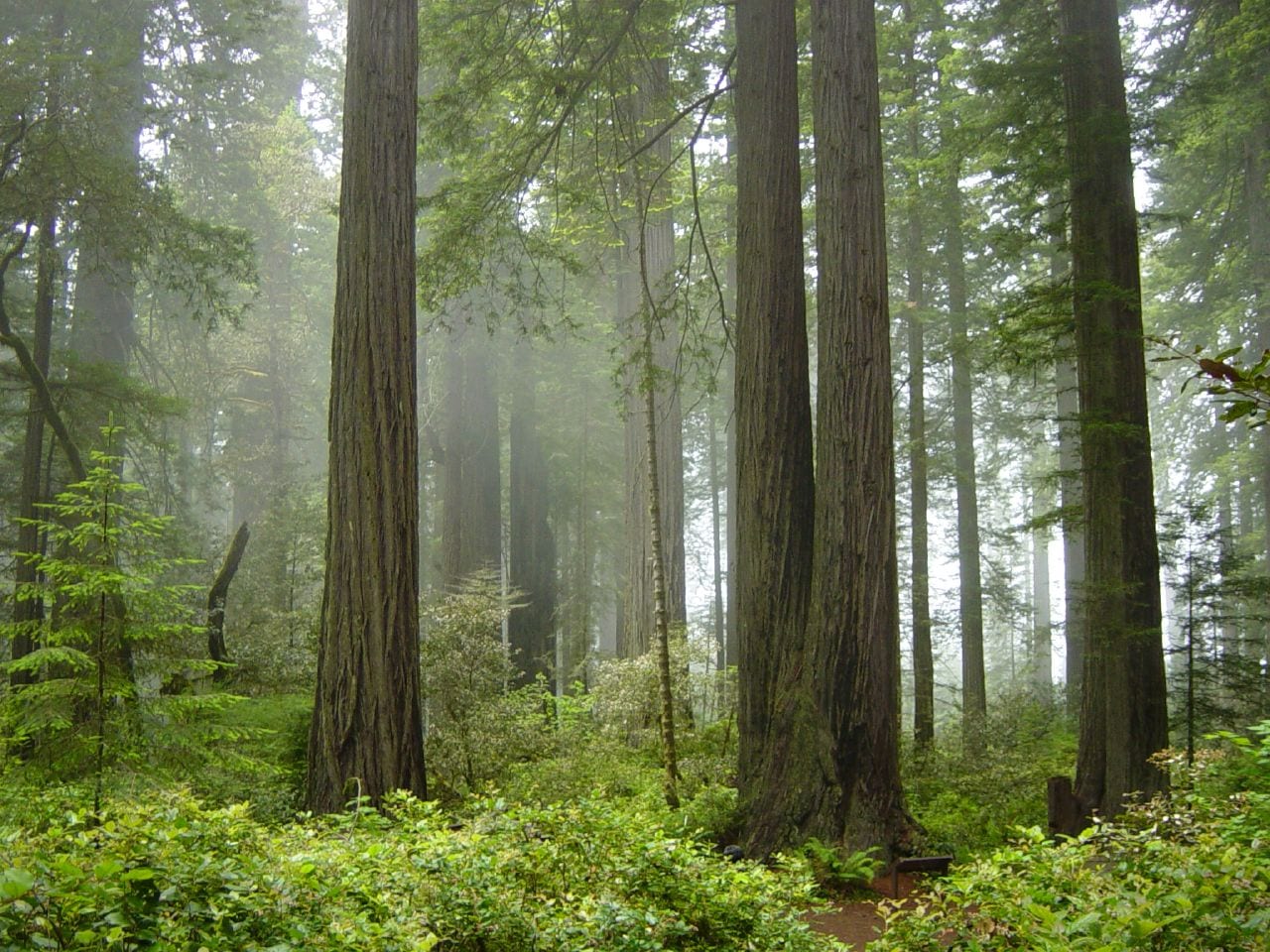
Redwood National and State Parks is a National Park Service unit in Humboldt County, California. There is no entrance fee. It is open 24 hours a day, year-round.
Check current closures and fire restrictions for Redwood National and State Parks on the managing agency's own page.
Redwood National and State Parks map
Redwood National and State Parks boundary from USGS PAD-US or the managing agency, simplified for display. Not for navigation or legal boundaries.
Fire restrictions
No fire restriction recorded for this unit as of Sept. 30, 2026. Restrictions change with the season, so check the current orders below before you go.
Common questions
- Yes. Redwood National and State Parks has no entrance fee.
- Yes. Redwood National and State Parks is open 24 hours a day, year-round.
- No. Launching, landing or operating a drone is not allowed in Redwood National and State Parks.
Fees, passes, and hours
Redwood National and State Parks has no entrance fee.
Redwood National and State Parks is open 24 hours a day, year-round.
Source: nps.gov/redw/planyourvisit/fees, checked 2026-09-28.
Entrances and visitor centers
- Thomas H. Kuchel Visitor CenterVisitor center, year-round: 9 a.m. to 5 p.m.Visitor center, year-round: 9 a.m. to 5 p.m.Visitor center, year-round: 9 a.m. to 5 p.m.707-464-6101
- Prairie Creek Visitor CenterVisitor center, year-round: 9 a.m. to 5 p.m.Visitor center, year-round: 9 a.m. to 5 p.m.Visitor center, year-round: 9 a.m. to 5 p.m.(707) 464-6101
- Hiouchi Visitor CenterVisitor center, year-round: 9 a.m. to 5 p.m.Visitor center, year-round: 9 a.m. to 5 p.m.Visitor center, year-round: 9 a.m. to 5 p.m.(707) 464-6101
Source: nps.gov/redw/redw_linked_data.json, checked 2026-09-28.
Pets
They are not allowed on trails.
Source: nps.gov/redw/planyourvisit/pets, checked 2026-09-28.
Trails
- Stout Memorial GroveFlat old-growth redwood loop in Jedediah Smith Redwoods.
- Simpson-Reed TrailBarrier-free loop through ancient redwoods near Hiouchi.
- Grove of Titans TrailElevated boardwalk protecting famous redwoods; metal stairs.
- Boy Scout Tree TrailOld-growth hike to Fern Falls; spur to the Boy Scout Tree.
- Fern Canyon Loop closed part of the year Fern-walled canyon; summer footbridges; day-use permit May 15-Sep 15.
- James Irvine TrailClassic redwood walk from Prairie Creek VC to Fern Canyon.
- Lady Bird Johnson GroveDedication-site old-growth loop off Bald Hills Road.
- Tall Trees Trail800 ft elevation; access-road permit required year-round.
- Trillium Falls TrailOld-growth loop to a mossy 10-foot waterfall near Orick.
- Damnation Creek TrailDrops 1,000 ft through redwoods to the Pacific coastline.
Source: nps.gov/redw/planyourvisit/hiking, checked 2026-09-29.
What to see
- GroveTall Trees GroveWorld-famous tall coast redwoods; limited parking via permit road.
- CanyonFern Canyon30-ft fern cliffs in Prairie Creek; summer bridges and day-use permit.
- GroveStout GroveIconic Smith River floodplain redwood stand in Jedediah Smith SP.
- GroveGrove of TitansProtected boardwalk among uniquely shaped giant redwoods.
- GroveLady Bird Johnson Grove1968 park dedication grove with interpretive posts.
Source: nps.gov/redw/planyourvisit/hiking, checked 2026-09-29.
Fishing and water
Freshwater Lagoon fishing (0.5 miles outside the boundary): its fishing and stocking record on fishypedia.com.
Public lands next to Redwood National and State Parks
- BLM unitRedwood National and State Parks borders California Coastal National Monument.
- State parkRedwood National and State Parks borders Del Norte Coast Redwoods State Park.
- State parkRedwood National and State Parks borders Humboldt Lagoons State Park.
- State parkRedwood National and State Parks borders Jedediah Smith Redwoods State Park.
- State parkRedwood National and State Parks borders Prairie Creek Redwoods State Park.
- National forestRedwood National and State Parks borders Six Rivers National Forest.
- State parkHarry A. Merlo State Recreation Area is 1.3 miles away, straight line between the two boundaries.
- State parkTolowa Dunes State Park is 3 miles away, straight line between the two boundaries.
Measured between the units' boundaries as mapped in USGS PAD-US. Distances are straight line, not driving.
- https://www.nps.gov/state/ca/index.htm (accessed 2026-09-29)
- https://www.nps.gov/redw/planyourvisit/fees.htm (accessed 2026-09-28)
- https://www.nps.gov/redw/planyourvisit/pets.htm (accessed 2026-09-28)
- https://www.nps.gov/redw/planyourvisit/basicinfo.htm (accessed 2026-09-28)
- https://www.nps.gov/redw/learn/management/superintendent-s-compendium.htm (accessed 2026-09-28)
- https://www.nps.gov/redw/planyourvisit/directions.htm (accessed 2026-09-28)
- https://www.nps.gov/redw/redw_linked_data.json (accessed 2026-09-28)
- https://www.nps.gov/redw/planyourvisit/hiking.htm (accessed 2026-09-29)
- https://www.nps.gov/redw/planyourvisit/hiking-trails-north.htm (accessed 2026-09-29)
- https://www.nps.gov/redw/planyourvisit/hiking-trails-south.htm (accessed 2026-09-29)