Garrapata State Park
Garrapata State Park is a state park in Monterey County, California, 6.7 miles from Carmel. Hours: 8 AM - Sunset.
Garrapata State Park map
Garrapata State Park boundary from USGS PAD-US or the managing agency, simplified for display. Not for navigation or legal boundaries.
Closures
- Backcountry trails east of Highway 1 closed indefinitely due to fire damage and repair work (as of September 29, 2026). Current notice
Fire restrictions
Fire restriction orders for this unit are not tracked here yet. Restrictions change with the season, so check the current orders before any campfire, stove or target shooting.
Common questions
- Garrapata State Park has 1 developed campground. Sites can be reserved in advance.
- Hours: 8 AM - Sunset.
- No, day use at Garrapata State Park does not need a reservation; pay the entry fee on arrival.
- Backcountry trails east of Highway 1 closed indefinitely due to fire damage and repair work (as of September 29, 2026).
- Garrapata State Park is 6.7 miles from Carmel. It is 18 miles from Monterey.
- Yes, dogs are allowed at Garrapata State Park.
Before you go
Garrapata State Park is 6.7 miles from Carmel. It is 18 miles from Monterey.
Day use needs no reservation; pay the entry fee on arrival.
Camping at Garrapata State Park
Garrapata State Park has 1 developed campground. Sites can be reserved in advance.
Trails
- Soberanes Canyon Trail East of Highway 1 through chaparral to a redwood grove
- Rocky Ridge Trail Closed due to hazardous conditions
- Partington Cove Trail Day-use trail to the cove; open to the public
What to see
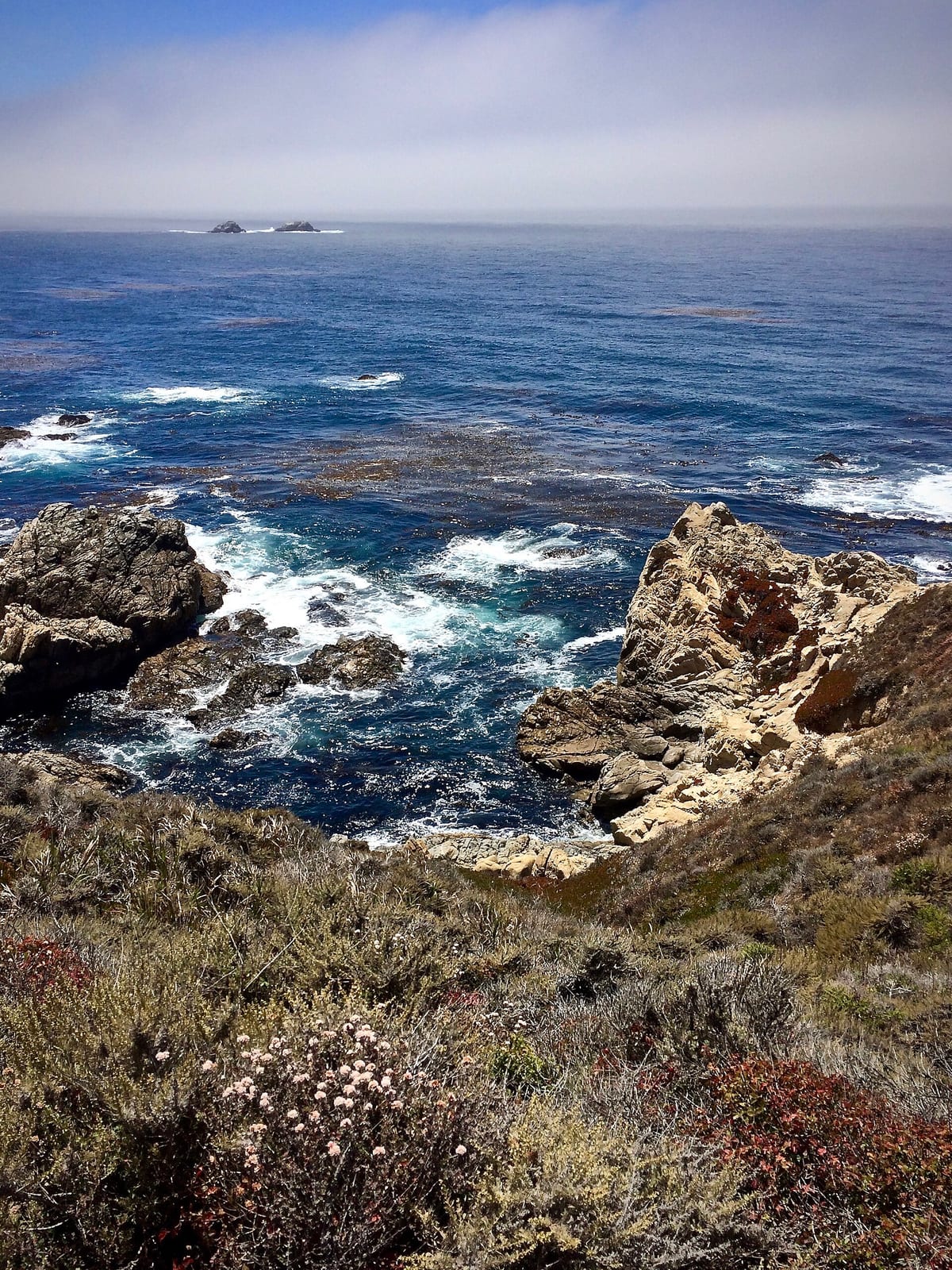
- Feature Garrapata Beach Two miles of Big Sur coastline with dramatic surf
- Overlook California Coastal National Monument Offshore rocks and islets protected as part of the national monument
Public lands next to Garrapata State Park
- BLM unitGarrapata State Park borders California Coastal National Monument.
- State parkPoint Lobos State Natural Reserve, a state park, is 0.5 miles away, straight line between the two boundaries.
- State parkCarmel River State Beach, a state park, is 1.6 miles away, straight line between the two boundaries.
- State parkHatton Canyon Prop, a state park, is 2.6 miles away, straight line between the two boundaries.
Measured between the units' boundaries as mapped in USGS PAD-US. Distances are straight line, not driving.
- https://www.parks.ca.gov/?page_id=579 (accessed 2026-09-29)
- https://en.wikipedia.org/wiki/List_of_California_state_parks (accessed 2026-09-28)