Death Valley National Park
Death Valley National Park is a national park that spans California and Nevada: about 110,490 acres of it are in Nye County, Nevada. Entrance is $30 per vehicle, good for 7 days. It is open 24 hours a day, year-round. It has 9 developed campgrounds.
Check current closures and fire restrictions for Death Valley National Park on the managing agency's own page.
Death Valley National Park map
Death Valley National Park boundary from USGS PAD-US or the managing agency, simplified for display. Not for navigation or legal boundaries.
Closures
- Bonnie Clare Road, the access from the east, is closed at the Nevada state line; Scotty's Castle and Grapevine Canyon are closed after 2015 flooding until further notice (as of September 27, 2026). Current notice
Fire restrictions
No fire restriction recorded for this unit as of Sept. 30, 2026. Restrictions change with the season, so check the current orders below before you go.
Nevada Fire Info, BLM Nevada's interagency fire site, keeps the Nevada fire restrictions map and signed orders for every fire zone, and a Nevada fire map of active fires.
Common questions
- Partly. About 110,490 acres of Death Valley National Park are in Nevada (measured from the park's boundary map); the rest is in California.
- Entrance costs $30 per vehicle, $25 per motorcycle, and $15 per person on foot or bicycle, each valid 7 days. An annual pass for Death Valley National Park costs $55. Interagency (America the Beautiful) passes are accepted. The park takes no cash: pay by card or buy a pass online. No reservation is needed to enter.
- Yes. Death Valley National Park is open 24 hours a day, year-round.
- Yes. Death Valley National Park has 9 developed campgrounds. Some campgrounds take reservations and others are first come, first served. Furnace Creek Campground takes reservations for its October 15 to April 15 season, up to 6 months ahead; all other NPS campgrounds are first-come, first-served (as of September 27, 2026). Across the whole park, the limit is 30 days in any 365-day period. Each site holds up to 8 people and 2 vehicles. Hookups at some Park Service sites. Generators may run from 7 a.m. to 7 p.m. Vehicle camping outside campgrounds is allowed.
- A backcountry permit is required only in named areas outside Nevada (Greenwater Valley roadside camping, Echo Canyon roadside camping, Hole in the Wall roadside camping, Cottonwood Canyon and Marble Canyon roadside camping, and Cottonwood-Marble backpacking loop). Permits are issued at a visitor center, by self-registration at the trailhead, and online. Limits: groups of up to 12 people and 8 pack animals. Backpackers camp at least 1 mile from roads and developed areas.
- Pets are allowed in Death Valley National Park on a leash no longer than 6 feet. They are not allowed on trails. They are not allowed in the backcountry. Not allowed: All trails, Designated wilderness areas, Inside federal buildings, Badwater Basin boardwalk and trail, and Mesquite Flat Sand Dunes beyond the parking lot. Not advised to bring pets from late Spring through early Fall.
- No. Launching, landing or operating a drone is not allowed in Death Valley National Park.
Fees, passes, and hours
Entrance costs $30 per vehicle, $25 per motorcycle, and $15 per person on foot or bicycle, each valid 7 days. An annual pass for Death Valley National Park costs $55. Interagency (America the Beautiful) passes are accepted. The park takes no cash: pay by card or buy a pass online. No reservation is needed to enter.
Death Valley National Park is open 24 hours a day, year-round.
Sources: nps.gov/deva/planyourvisit/fees, checked 2026-09-27; nps.gov/deva/planyourvisit/hours, checked 2026-09-27.
Entrances and visitor centers
- SR 374 from Beatty, NV
- SR 267 from US 95, NV
- Hell's Gate fee machine (California) Open
- Ryan Kiosk (east entrance) (California) Open
- Furnace Creek Visitor Center (California)Visitor center, year-round: 8 a.m. to 5 p.m.760-786-3200
- Stovepipe Wells Ranger Station (California)
Sources: nps.gov/deva/planyourvisit/fees, checked 2026-09-27; nps.gov/deva/planyourvisit/wilderness-permits, checked 2026-09-27.
Camping in Death Valley National Park
Death Valley National Park has 9 developed campgrounds. Some campgrounds take reservations and others are first come, first served. Furnace Creek Campground takes reservations for its October 15 to April 15 season, up to 6 months ahead; all other NPS campgrounds are first-come, first-served (as of September 27, 2026). Across the whole park, the limit is 30 days in any 365-day period. Each site holds up to 8 people and 2 vehicles. Hookups at some Park Service sites. Generators may run from 7 a.m. to 7 p.m. Vehicle camping outside campgrounds is allowed.
Campfires: Ash-producing fires only in NPS metal fire pits; gathering firewood in the park is not permitted, all firewood must be brought in.
Sources: nps.gov/deva/faqs, checked 2026-09-27; nps.gov/deva/planyourvisit/camping-in-death-valley, checked 2026-09-27.
Backcountry permits
A backcountry permit is required only in named areas outside Nevada (Greenwater Valley roadside camping, Echo Canyon roadside camping, Hole in the Wall roadside camping, Cottonwood Canyon and Marble Canyon roadside camping, and Cottonwood-Marble backpacking loop). Permits are issued at a visitor center, by self-registration at the trailhead, and online. Limits: groups of up to 12 people and 8 pack animals. Backpackers camp at least 1 mile from roads and developed areas.
- Greenwater Valley roadside camping (California)
- Echo Canyon roadside camping (California)
- Hole in the Wall roadside camping (California)
- Cottonwood Canyon and Marble Canyon roadside camping (California)
- Cottonwood-Marble backpacking loop (California)
How to get a backcountry permit for Death Valley National Park
Source: nps.gov/deva/planyourvisit/wilderness-permits, checked 2026-09-27.
Pets
Pets are allowed in Death Valley National Park on a leash no longer than 6 feet. They are not allowed on trails. They are not allowed in the backcountry. Not allowed: All trails, Designated wilderness areas, Inside federal buildings, Badwater Basin boardwalk and trail, and Mesquite Flat Sand Dunes beyond the parking lot. Not advised to bring pets from late Spring through early Fall.
Source: nps.gov/deva/learn/management/rules-and-regulations, checked 2026-09-27.
Scenic drives
- Titus Canyon Road27 mi one way, high clearance, tops out at 5,250 ft
Source: nps.gov/deva/planyourvisit/upload/508-Backcountry-and-Wilderness-Access-map_.pdf, checked 2026-09-27.
Getting there
- 120 miles from Las Vegas
- The park warns that GPS and phone map directions can send you the wrong way: follow the park's own directions.
- No public transit to the park.
- Limited cell service
Source: nps.gov/deva/planyourvisit/directions, checked 2026-09-27.
What to see
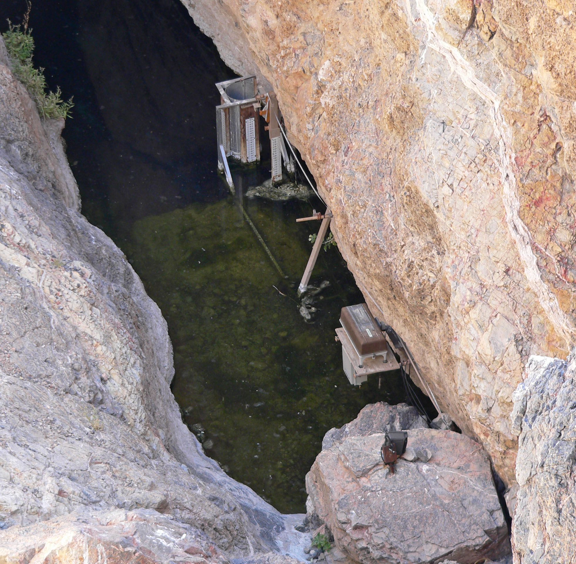
- CaveDevils HoleDetached unit; only natural habitat of the endangered Devils Hole pupfish. Fenced area closed to public entry; unit closed sunset to sunrise.
- HighlightNevada TriangleReached by Phinney Canyon Road off Hwy 95; high woodlands of the Grapevine Mountains and historic Strozzi Ranch
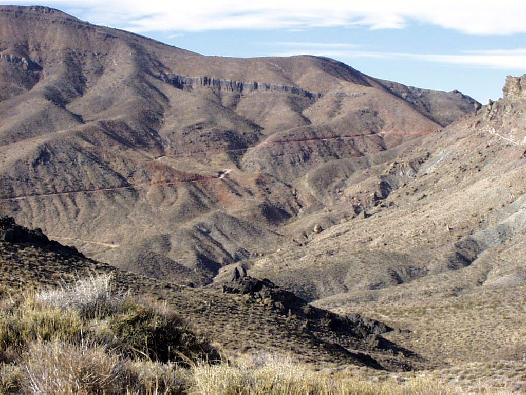
- Canyon (California)Titus CanyonMost popular backcountry road in the park; the one-way drive starts on Nevada Highway 374 (Daylight Pass Road)
- Highlight (California)Badwater Basin282 feet below sea level, the lowest place in North America
Source: nps.gov/deva/faqs, checked 2026-09-27.
Public lands next to Death Valley National Park
- Wilderness areaDeath Valley Wilderness lies inside Death Valley National Park.
- National wildlife refugeDeath Valley National Park borders Ash Meadows National Wildlife Refuge.
Measured between the units' boundaries as mapped in USGS PAD-US. Distances are straight line, not driving.
Photos
- https://www.nps.gov/state/nv/index.htm (accessed 2026-09-27)
- https://www.nps.gov/deva/planyourvisit/fees.htm (accessed 2026-09-27)
- https://www.nps.gov/deva/planyourvisit/hours.htm (accessed 2026-09-27)
- https://www.nps.gov/deva/planyourvisit/directions.htm (accessed 2026-09-27)
- https://www.nps.gov/deva/planyourvisit/upload/Routes-from-Las-Vegas.pdf (accessed 2026-09-27)
- https://www.nps.gov/deva/faqs.htm (accessed 2026-09-27)
- https://www.nps.gov/deva/planyourvisit/camping-in-death-valley.htm (accessed 2026-09-27)
- https://www.nps.gov/deva/planyourvisit/developed-campgrounds.htm (accessed 2026-09-27)
- https://www.nps.gov/deva/planyourvisit/wilderness-permits.htm (accessed 2026-09-27)
- https://www.nps.gov/deva/planyourvisit/upload/508-Backcountry-and-Wilderness-Access-map_.pdf (accessed 2026-09-27)
- https://www.nps.gov/deva/learn/management/rules-and-regulations.htm (accessed 2026-09-27)
- https://www.nps.gov/deva/planyourvisit/conditions.htm (accessed 2026-09-27)
- https://www.nps.gov/deva/planyourvisit/pets.htm (accessed 2026-09-27)
- https://www.nps.gov/deva/learn/nature/devils-hole.htm (accessed 2026-09-27)
- https://www.nps.gov/deva/planyourvisit/nearbyattractions.htm (accessed 2026-09-27)
- https://www.nps.gov/deva/planyourvisit/titus-canyon.htm (accessed 2026-09-27)
- https://www.nps.gov/deva/planyourvisit/telescope-peak.htm (accessed 2026-09-27)
- https://www.nps.gov/deva/learn/nature/geology.htm (accessed 2026-09-27)
- https://www.nps.gov/deva/learn/historyculture/stories.htm (accessed 2026-09-27)
- https://www.nps.gov/deva/learn/nature/lightscape.htm (accessed 2026-09-27)
- https://commons.wikimedia.org/wiki/File:Devils_Hole_6.jpg (accessed 2026-09-27)
- https://commons.wikimedia.org/wiki/File:Death_Valley_Scenic_Byway_-_Red_Pass_Switchbacks_of_Titus_Canyon_-_NARA_-_7717978.jpg (accessed 2026-09-27)