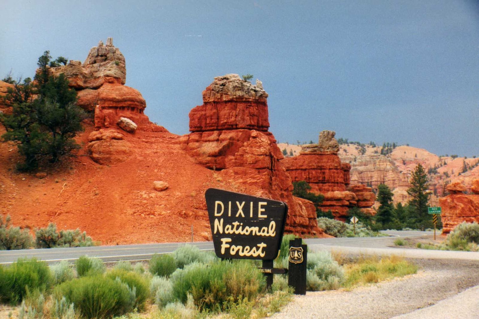
Dixie National Forest
Dixie National Forest covers 250,000 acres across Utah. Dispersed camping is not allowed.
Current notices posted by the managing agency. Checked Sept. 30, 2026.
- Closure: Duck Creek OHV Trail Closure To reduce safety risks to workers and visitors during trail repair the described roads and trails will be closed. See the map attached to the Signed Order for closed roads and trails Since July 13, 2026.
- Closure: Cedar City Ranger District Temporary Road and Trail Closure The purpose of this Order is to reduce road damage during logging operations. Since Jan. 28, 2026.
- Closure: Pine Valley Ranger District Area and Trail and Road Closure The purpose of this Order is to protect public health and safety while crews perform work to restore the Pine Valley Recreation Area and clean up debris flows and damage from flooding. Since Jan. 15, 2026.
- Closure: Cedar City Ranger District Temporary Road Closure Brian Head Peak Road (Order 0407-25-08) The purpose of this order is to ensure public safety during the reconstruction/rotomilling of the existing travel surface, for the entirety of the Brian Head Peak Road (NFSR 30047). Since July 7, 2025.
- Closure: Cedar City Temporary Road Closure Webster Flat Road (Order 0407-25-02) The purpose of this order is to ensure public safety, protect resources, and minimize damage to the road infrastructure during snow melt in the spring months. Since March 18, 2025.
Check current closures and fire restrictions for Dixie National Forest on the managing agency's own page.
Dixie National Forest map
Dixie National Forest boundary from USGS PAD-US or the managing agency, simplified for display. Not for navigation or legal boundaries.
Fire restrictions
5 fire restriction orders are recorded for this unit as of Sept. 30, 2026. Each links the signed order.
- Forest Service (USFS) - Manti-La Sal NF, Ferron RD (Black Canyon Rd) (Closure) Effective Sept. 11, 2026. Applies to Manti-La Sal National Forest on this forest. Listed as Active on Utah Fire Info. The signed order states the exact area, what it prohibits, and exemptions.
- Forest Service (USFS) - Babylon Fire Closure - Manti-La Sal NF (Monticello RD) Effective July 17, 2026. Applies to Manti-La Sal National Forest on this forest. Listed as Active on Utah Fire Info. The signed order states the exact area, what it prohibits, and exemptions.
- Forest Service (USFS) - Cottonwood Fire Closure Effective July 4, 2026. Applies to Fishlake National Forest on this forest. Listed as Active on Utah Fire Info. The signed order states the exact area, what it prohibits, and exemptions.
- Forest Service (USFS) - Wild Goose Fire Closure Effective June 27, 2026. Applies to Fishlake National Forest on this forest. Listed as Active on Utah Fire Info. The signed order states the exact area, what it prohibits, and exemptions.
- Forest Service (USFS) - Uinta-Wasatch-Cache NF (Ogden RD: Weber Co Wasatch Foothills) (Special Order) Effective June 1, 2026. Applies to Uinta-Wasatch-Cache National Forest on this forest. Listed as Active on Utah Fire Info. The signed order states the exact area, what it prohibits, and exemptions.
Utah Fire Info, Utah DNR's interagency fire information hub, keeps the Utah fire restrictions map and signed orders for every fire zone, and a Utah fire map of active fires.
Common questions
- No, dispersed camping is not allowed on Dixie National Forest.
- Dixie National Forest has 7 district offices: Duck Creek Visitor Center in Duck Creek Village (435-682-2432), Escalante Ranger District and Interagency Office in Escalante (435-826-5499), Pine Valley Heritage Center in E. Main Street Pine Valley (435-574-2463), Pine Valley Ranger District in Saint George (435-652-3100), Powell Ranger District in E Center Panguitch (435-676-9300), Public Lands Visitor Center and Interagency Office in East Aviator Drive St. George (435-688-3200), and Red Canyon Visitor Center in Panguitch (435-676-2676).
- Dixie National Forest is managed through 4 ranger districts: Cedar City Ranger District, Escalante Ranger District, Pine Valley Ranger District, and Powell Ranger District.
Camping on Dixie National Forest
No dispersed camping
Fire restrictions change by district and season: check the current alerts and restrictions before you go.
Dixie National Forest maps
- Interactive forest map from the Forest Service
- Motor Vehicle Use Maps: which roads are open to which vehicles, and so where you can legally drive to a dispersed site
- Forest visitor map
Ranger district offices
| Forest Supervisor's Office | N. Main Street Cedar City, UT | 435-865-3700 | Monday-Friday 8 AM - 12 PM, 12:30 PM - 4:30 PM MST. |
| Duck Creek Visitor Center (visitor center) | Duck Creek Village, UT | 435-682-2432 | Open 10 AM - 3 PM MST, 7 days per week from Memorial Day to Labor Day. Closed |
| Escalante Ranger District and Interagency Office | Escalante, UT | 435-826-5499 | Closed Sunday - Monday, Open Tuesday - Saturday 9 am - 4 pm. |
| Pine Valley Heritage Center (visitor center) | E. Main Street Pine Valley, UT | 435-574-2463 | Open Thursday through Saturday between Memorial Day and Labor Day. Open |
| Pine Valley Ranger District | Saint George, UT | 435-652-3100 | 8:00 AM - 4:30 PM |
| Powell Ranger District | E Center Panguitch, UT | 435-676-9300 | Please call (435) 676-9300 to schedule office appointment. |
| Public Lands Visitor Center and Interagency Office (visitor center) | East Aviator Drive St. George, UT | 435-688-3200 | 8 AM - 4:30 PM MST, Monday through Friday |
| Red Canyon Visitor Center (visitor center) | Panguitch, UT | 435-676-2676 | Contact the Powell Ranger District for Red Canyon Visitor Center hours at (435) |
Fishing and water
Fishing inside the boundary: Upper Enterprise Reservoir fishing , with stocking records and species on fishypedia.com.
- Navajo Lake fishing (right at the boundary): its fishing and stocking record on fishypedia.com.
- Panguitch Lake fishing (0.4 miles outside the boundary): its fishing and stocking record on fishypedia.com.
Public lands next to Dixie National Forest
- Wilderness areaAshdown Gorge Wilderness lies inside Dixie National Forest.
- Wilderness areaBox-Death Hollow Wilderness lies inside Dixie National Forest.
- Wilderness areaCottonwood Forest Wilderness lies inside Dixie National Forest.
- Wilderness areaPine Valley Mountain Wilderness lies inside Dixie National Forest.
- National Park Service unitDixie National Forest borders Bryce Canyon National Park.
- National Park Service unitDixie National Forest borders Cedar Breaks National Monument.
- Wilderness areaDixie National Forest borders Cottonwood Canyon Wilderness.
- Wilderness areaDixie National Forest borders Cougar Canyon Wilderness.
Measured between the units' boundaries as mapped in USGS PAD-US. Distances are straight line, not driving.
- https://www.fs.usda.gov/r04/dixie/offices (accessed 2026-09-28)
- https://www.fs.usda.gov/r04/dixie/recreation/camping-cabins (accessed 2026-09-28)
- https://www.fs.usda.gov/r04/dixie (accessed 2026-09-28)