Canyonlands National Park
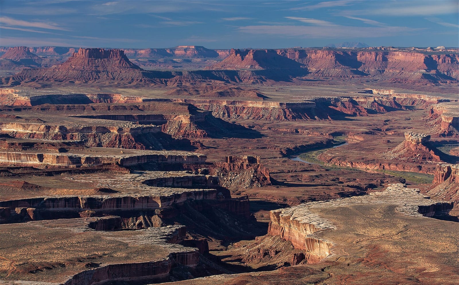
Canyonlands National Park is a national park in San Juan County, Utah. Entrance is $30 per vehicle.
Check current closures and fire restrictions for Canyonlands National Park on the managing agency's own page.
Canyonlands National Park map
Canyonlands National Park boundary from USGS PAD-US or the managing agency, simplified for display. Not for navigation or legal boundaries.
Fire restrictions
Fire restrictions change with the season and can start or lift within days. Check the current orders for this area before any campfire, stove, smoking, target shooting or off-road driving.
Utah Fire Info, Utah DNR's interagency fire information hub, keeps the Utah fire restrictions map and signed orders for every fire zone, and a Utah fire map of active fires.
Fees, passes, and hours
Entrance costs $30 per vehicle, $25 per motorcycle, and $15 per person on foot or bicycle. Interagency (America the Beautiful) passes are accepted.
Source: nps.gov/cany/planyourvisit/fees, checked 2026-09-28.
Entrances and visitor centers
- Island in the Sky Visitor CenterEnd of UT 313, Island in the Sky District435-719-2313
Source: nps.gov/cany/planyourvisit/islandinthesky, checked 2026-09-29.
Pets
They are allowed on trails.
Source: nps.gov/cany/planyourvisit/pets, checked 2026-09-28.
Getting there
- 10 miles from Moab, UT
- The park warns that GPS and phone map directions can send you the wrong way: follow the park's own directions.
Source: nps.gov/cany/planyourvisit/islandinthesky, checked 2026-09-29.
Trails
- Mesa ArchClassic sunrise viewpoint on the Island in the Sky mesa.
- Grand View PointPanoramic canyon-edge walk at the mesa tip.
- Upheaval DomeSteep trail to the first overlook of Upheaval Dome.
- Syncline LoopAround Upheaval Dome; most park rescues occur on this trail.
Source: nps.gov/cany/planyourvisit/hiking, checked 2026-09-29.
What to see
- OverlookIsland in the SkyMesas with 1,000-ft cliffs and a paved scenic drive.
- HighlightThe NeedlesColorful spires and longer day hikes in the park's southeast district.
Source: nps.gov/cany/planyourvisit/islandinthesky, checked 2026-09-29.
Public lands next to Canyonlands National Park
- BLM unitCanyonlands National Park borders Bears Ears National Monument - Indian Creek Unit.
- National Park Service unitCanyonlands National Park borders Glen Canyon National Recreation Area.
- Wilderness areaLabyrinth Canyon Wilderness is 0.1 miles away, straight line between the two boundaries.
- State parkDead Horse Point State Park is 0.3 miles away, straight line between the two boundaries.
- National forestManti-La Sal National Forest is 2 miles away, straight line between the two boundaries.
Measured between the units' boundaries as mapped in USGS PAD-US. Distances are straight line, not driving.
- https://www.nps.gov/state/ut/index.htm (accessed 2026-09-29)
- https://www.nps.gov/cany/planyourvisit/fees.htm (accessed 2026-09-28)
- https://www.nps.gov/cany/planyourvisit/pets.htm (accessed 2026-09-28)
- https://www.nps.gov/cany/planyourvisit/basicinfo.htm (accessed 2026-09-28)
- https://www.nps.gov/cany/planyourvisit/hiking.htm (accessed 2026-09-29)
- https://www.nps.gov/cany/planyourvisit/islandinthesky.htm (accessed 2026-09-29)
- https://www.nps.gov/cany/planyourvisit/directions.htm (accessed 2026-09-29)