Canaan Mountain Wilderness
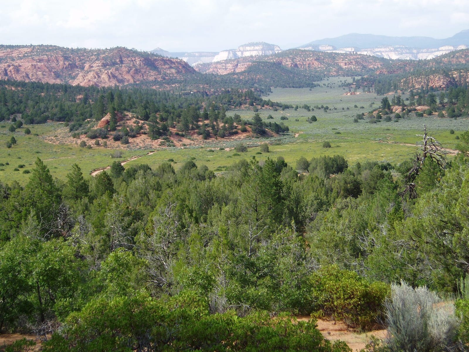
Canaan Mountain Wilderness is a 44,447-acre wilderness area in Washington County, Utah. It rises from about 4,153 to 7,359 ft. The nearest town is Hildale, 0.2 miles away in a straight line.
Canaan Mountain Wilderness map
Canaan Mountain Wilderness boundary from USGS PAD-US or the managing agency, simplified for display. Not for navigation or legal boundaries.
Fire restrictions
3 fire restriction orders are recorded for this unit as of Sept. 30, 2026. Each links the signed order.
- Bureau of Land Management (BLM) - West Desert District (Stage 1) Effective Sept. 5, 2026. Applies to the part of this wilderness managed by Outdoor Recreation Planner. Stage 1. Listed as Active on Utah Fire Info. The signed order states the exact area, what it prohibits, and exemptions.
- Bureau of Land Management (BLM) - Cottonwood Fire Closure Effective June 26, 2026. Applies to all BLM land in Utah. Listed as Active on Utah Fire Info. The signed order states the exact area, what it prohibits, and exemptions.
- Bureau of Land Management (BLM) - Statewide (Prevention Order) Effective June 17, 2025. Applies to all BLM land in Utah. Listed as Active on Utah Fire Info. The signed order states the exact area, what it prohibits, and exemptions.
Utah Fire Info, Utah DNR's interagency fire information hub, keeps the Utah fire restrictions map and signed orders for every fire zone, and a Utah fire map of active fires.
Common questions
- Camping in Canaan Mountain Wilderness is limited to 14 days.
- Campfires are allowed: Campfire permit required.
- Hildale, UT is the nearest town, 0.2 miles in a straight line from the boundary (not a driving distance).
- The highest ground in Canaan Mountain Wilderness is about 7,359 ft, and its lowest about 4,153 ft (USGS 3DEP elevation model). Its highest named summit is Canaan Mountain, about 7,359 ft.
Who manages Canaan Mountain Wilderness
| Agency | Acres | Permit | Group size | Stay limit | Office |
|---|---|---|---|---|---|
| BLM | 44,447 | Not on record | Not on record | 14 days | Outdoor Recreation Planner, 435-688-3210 |
Getting to Canaan Mountain Wilderness
- Hildale, UT is the nearest town, 0.2 miles in a straight line from the boundary (not a driving distance). (US Census places, accessed 2026-09-29)
Trailheads at Canaan Mountain Wilderness
- Canaan Mountain Trailhead (inside the boundary, 5,770 ft), at 37.0807, -112.9166 (mapped on OpenStreetMap)
- Shunesburg Mail Drop Trailhead (inside the boundary, 5,402 ft), at 37.1358, -112.9150 (mapped on OpenStreetMap)
- Grafton Mesa (Upper) Trailhead (0.03 mi outside the boundary, 4,736 ft), at 37.1308, -113.0982 (mapped on OpenStreetMap)
- Wire Mesa Trailhead (0.15 mi outside the boundary, 4,411 ft), at 37.1329, -113.0712 (mapped on OpenStreetMap)
- Water Canyon Trailhead (0.19 mi outside the boundary, 5,212 ft), at 37.0378, -112.9552
- Squirrel Canyon Trailhead (0.23 mi outside the boundary, 5,177 ft), at 37.0264, -112.9529
- Eagle Crags Trailhead (0.43 mi outside the boundary, 4,358 ft), at 37.1476, -113.0312
Trailhead locations: BLM recreation sites layer , accessed 2026-09-29. Elevations from USGS 3DEP.
Trailheads mapped on OpenStreetMap: © OpenStreetMap contributors, available under the Open Database License , accessed 2026-09-29. The extract used here, with distances from the boundary: osm-trailheads-ut.json. Where an agency layer lists the same trailhead, the agency's point is shown instead.
Named summits, canyons, and springs in Canaan Mountain Wilderness
- Canaan Mountain summit
- South Mountain summit
- Lower Mountain summit
- Canaan Springs spring
- Sawmill Spring spring
Features whose official location is inside the boundary, from the USGS Geographic Names Information System, accessed 2026-09-29. Summit elevations measured on the USGS 3DEP elevation model, which can read a few feet under a surveyed summit height.
Public lands next to Canaan Mountain Wilderness
- National Park Service unitCanaan Mountain Wilderness borders Zion National Park.
- Wilderness areaCanaan Mountain Wilderness borders Zion Wilderness.
Measured between the units' boundaries as mapped in USGS PAD-US. Distances are straight line, not driving.
Other wilderness areas in Utah
- https://wilderness.net/visit-wilderness/?ID=714 (accessed 2026-09-29)
- https://prd-tnm.s3.amazonaws.com/StagedProducts/Elevation/1/TIFF/current/n38w114/USGS_1_n38w114.tif (accessed 2026-09-29)
- https://prd-tnm.s3.amazonaws.com/StagedProducts/Elevation/1/TIFF/current/n38w113/USGS_1_n38w113.tif (accessed 2026-09-29)
- https://prd-tnm.s3.amazonaws.com/StagedProducts/GeographicNames/DomesticNames/DomesticNames_UT_Text.zip (accessed 2026-09-29)
- https://www2.census.gov/geo/docs/maps-data/data/gazetteer/2025_Gazetteer/2025_gaz_place_49.txt (accessed 2026-09-29)
- https://gis.blm.gov/arcgis/rest/services/recreation/BLM_Natl_Recs_pts/MapServer/14 (accessed 2026-09-29)
- https://www.openstreetmap.org/copyright (accessed 2026-09-29)