Inyo National Forest
Inyo National Forest is a national forest in California and Nevada. Free dispersed camping is allowed, up to 14 days.
Current notices posted by the managing agency. Checked Sept. 30, 2026.
- Closure: Inyo Craters Closure Part D and E The Inyo Craters Closures are for public safety during a hazard tree mitigation project. The project consists of felling hazard trees, piling limbs and slash, and preparing tree trunks for eventual public fuelwood collection when the project is complete. The majority of the project is conducted… Since Aug. 14, 2026.
- Closure: Hanna Mill Site Closure This Forest Order prohibits recreating in the Hanna Mill Site Closure Area to provide for the safety of the visiting public. Since Aug. 7, 2026.
- Closure: ESCCRP Shady Rest Forest Health Project Area Closure This closure is one in the series for the Shady Rest Project, which consists of forest health and fuels reduction work including vegetation thinning, removal of dead and downed material, shrub reduction, roadside tree limbing, and burn pile construction. Since July 15, 2026.
- Closure: ESCCRP PANORAMA PROJECT AREA CLOSURE To provide for public safety while contractors perform forest health and fuels reduction work for the Panorama portion of the ESCCRP project. Since June 22, 2026.
- Closure: Juniper Bike Trail Area Closure To provide for public safety while contractors perform forest health and fuels reduction work for the Forest Trail. Since June 8, 2026.
- Closure: Mammoth Mill Site Area and Trail Closure This Forest Order prohibits recreating, entering or being in the Mammoth Mill Site Closure Area and the Mammoth Stamp Mill Trail to provide for public safety. Since May 16, 2026.
- Closure: Mammoth Scenic Loop Closure Our partners are helping the Town of Mammoth Lakes do hazard tree mitigation along the Mammoth Scenic Road. Both gates on the Scenic Loop will be closed for approximately 33 days beginning May 6 due to critical forest health work in the Inyo Craters area.This isn’t just routine maintenance, this… Since May 6, 2026.
- Closure: Ancient Bristlecone Pine Area Closure To provide for public safety and the protection of resources within the Inyo National Forest, the following acts are prohibited: Camping or having a campfire within the Ancient Bristlecone Pine Forest National Protection Area, possessing, storing, or transporting any part of a Bristlecone or Limber… Since May 5, 2026.
- Closure: Horseshoe Pit Closure To provide for public safety while large decks of logs are stored on site. Since Oct. 1, 2025.
- Closure: Eastern Sierra Climate and Communities Resilience Project Area Closure This forest order prohibits access to roads affected by the Eastern Sierra Climate and Communities Resilience Project to provide for public safety while contractors perform forest health and fuels reduction work surrounding the Town of Mammoth Lakes and beyond. The closure orders are dynamic and… Since May 28, 2025.
2 more notices at the agency link below.
Check current closures and fire restrictions for Inyo National Forest on the managing agency's own page.
Inyo National Forest map
Inyo National Forest boundary from USGS PAD-US or the managing agency, simplified for display. Not for navigation or legal boundaries.
Fire restrictions
3 fire restriction orders are recorded for this unit as of Sept. 30, 2026. Each links the signed order.
- Stage 1 Fire Restrictions in Effect Effective June 22, 2026. Stage 1 Fire Restrictions for Inyo National Forest lands to protect natural resources and provide for public safety during dry conditions. The following acts are prohibited within the Inyo National Forest through December 31, 2026.1. Building, maintaining, attending or using a fire, campfire, or…
- Ansel Adams and John Muir Wilderness Campfire Restrictions Effective June 10, 2025. This forest order prohibits campfires in portions of Ansel Adams and John Muir Wilderness Areas that are located on the Inyo National Forest, as shown on the Exhibits/Maps.
- Golden Trout and Hoover Wilderness Campfire Restrictions Effective June 10, 2025. This forest order prohibits campfires in portions of Golden Trout and Hoover Wilderness Areas that are located on the Inyo National Forest, as shown in the Exhibits.
Common questions
- Yes, dispersed camping is allowed on Inyo National Forest without a fee.
- Camping on Inyo National Forest is limited to 14 days (Forest Order 05-04-50-25-17).
- The Forest Service lists 66 campgrounds and camping areas on Inyo National Forest.
- Inyo National Forest has 9 district offices: Ancient Bristlecone Pine Forest Visitor Center in Bishop (760-873-2500), Eastern Sierra Interagency Visitor Center in Lone Pine (760-876-6200), Mammoth Lakes Welcome Center in Mammoth Lakes (760-924-5500), Mammoth Ranger Station in Mammoth Lakes (760-924-5500), Mono Basin Scenic Area Visitor Center in Lee Vining (760-647-3044), Mono Lake Ranger Station in Lee Vining (760-647-3044), Mt. Whitney Ranger Station in Lone Pine (760-876-6200), White Mountain Public Lands Information Center in Bishop (760-873-2501), and White Mountain Ranger Station in Bishop (760-873-2500).
- Inyo National Forest is managed through 4 ranger districts: Mammoth Ranger District, Mono Ranger District, Mt. Whitney Ranger District, and White Mountain Ranger District.
Camping on Inyo National Forest
Dispersed camping allowed Stays are limited to 14 days (Forest Order 05-04-50-25-17 , in effect until 2027-07-03) .
The Forest Service lists 66 campgrounds and camping areas on Inyo National Forest.
Fire restrictions change by district and season: check the current alerts and restrictions before you go.
Inyo National Forest maps
- Interactive forest map from the Forest Service
- Motor Vehicle Use Maps: which roads are open to which vehicles, and so where you can legally drive to a dispersed site
- Forest visitor map
Ranger district offices
| Forest Supervisor's Office | Bishop, CA | 760-873-2400 | Mon.-Thurs. 8:30 a.m. to 4:30 p.m., closed Fridays and federal holidays |
| Ancient Bristlecone Pine Forest Visitor Center (visitor center) | Bishop, CA | 760-873-2500 | Open every day 9 a.m. to 3:30 p.m. |
| Eastern Sierra Interagency Visitor Center (visitor center) | Lone Pine, CA | 760-876-6200 | Daily 8:30 a.m. to 4:30 p.m. (entrance gate closes 4:15 p.m.) |
| Mammoth Lakes Welcome Center (visitor center) | Mammoth Lakes, CA | 760-924-5500 | Daily 8 a.m. to 5 p.m. |
| Mammoth Ranger Station | Mammoth Lakes, CA | 760-924-5500 | Mon.-Fri. 9 a.m. to 6 p.m. |
| Mono Basin Scenic Area Visitor Center (visitor center) | Lee Vining, CA | 760-647-3044 | 9 a.m. to 5 p.m. |
| Mono Lake Ranger Station | Lee Vining, CA | 760-647-3044 | Not open to the public (administrative site) |
| Mt. Whitney Ranger Station | Lone Pine, CA | 760-876-6200 | Not open to the public (administrative site) |
| White Mountain Public Lands Information Center (visitor center) | Bishop, CA | 760-873-2501 | Fri.-Sat. 8:30 a.m. to 4:30 p.m. |
| White Mountain Ranger Station | Bishop, CA | 760-873-2500 | Not open to the public (administrative site) |
Fishing and water
Fishing inside the boundary: Big Pine Creek fishing , Bishop Creek, Intake II fishing , Bishop Creek, Middle Fork fishing , Bishop Creek, South Fork fishing , Convict Creek fishing , Convict Lake fishing , Deadman Creek fishing , Ellery Lake fishing , George Lake fishing , Glass Creek fishing , Lake Sabrina fishing , Lee Vining Creek fishing , Mamie Lake fishing , Mammoth Creek fishing , Mary Lake fishing , McGee Creek fishing , North Lake fishing , Rock Creek Lake fishing , Rock Creek, Section 2 fishing , Rush Creek fishing , Saddlebag Creek (Lee Vining Creek) fishing , Saddlebag Lake fishing , Sherwin Creek fishing , Silver Lake fishing , Tioga Lake fishing , Twin Lakes, Mammoth fishing , with stocking records and species on fishypedia.com.
- South Lake fishing (right at the boundary): its fishing and stocking record on fishypedia.com.
- Grant Lake fishing (right at the boundary): its fishing and stocking record on fishypedia.com.
- Lundy Lake fishing (0.1 miles outside the boundary): its fishing and stocking record on fishypedia.com.
- June Lake fishing (0.2 miles outside the boundary): its fishing and stocking record on fishypedia.com.
- Bishop Creek Lower fishing (0.3 miles outside the boundary): its fishing and stocking record on fishypedia.com.
Public lands next to Inyo National Forest
- Wilderness areaOwens River Headwaters Wilderness lies inside Inyo National Forest.
- Wilderness areaWhite Mountains Wilderness lies inside Inyo National Forest.
- Wilderness area Most of Golden Trout Wilderness lies inside Inyo National Forest.
- Wilderness area Most of South Sierra Wilderness lies inside Inyo National Forest.
- BLM unitInyo National Forest borders Alabama Hills National Scenic Area, a BLM unit.
- Wilderness areaInyo National Forest borders Ansel Adams Wilderness.
- National Park Service unitInyo National Forest borders Death Valley National Park.
- Wilderness areaInyo National Forest borders Death Valley Wilderness.
Measured between the units' boundaries as mapped in USGS PAD-US. Distances are straight line, not driving.
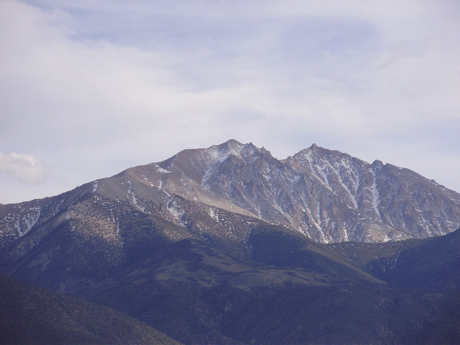
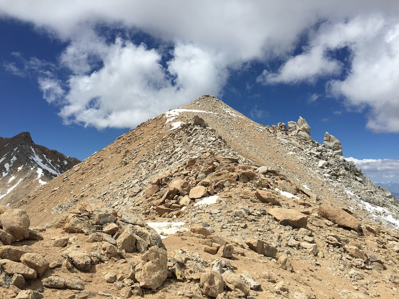
Photos
- https://www.fs.usda.gov/r05/inyo/recreation/camping-cabins (accessed 2026-09-28)
- https://www.fs.usda.gov/r05/inyo/alerts/stay-limits-parking-and-developed-recreation-site-use (accessed 2026-09-28)
- https://www.fs.usda.gov/r05/inyo/offices (accessed 2026-09-28)
- https://www.fs.usda.gov/r05/inyo/about-area (accessed 2026-09-28)
- https://www.fs.usda.gov/r05/inyo/alerts (accessed 2026-09-28)
- https://www.fs.usda.gov/r05/inyo/data-tools/interactive-maps (accessed 2026-09-28)
- https://www.fs.usda.gov/r05/inyo/maps-guides (accessed 2026-09-28)