Death Valley National Park
Death Valley National Park is a national park that spans California and Nevada: about 3,269,660 acres of it are in Inyo County, California. Entrance is $30 per vehicle, good for 7 days. It is open 24 hours a day, year-round. It has 9 developed campgrounds.
Check current closures and fire restrictions for Death Valley National Park on the managing agency's own page.
Death Valley National Park map
Death Valley National Park boundary from USGS PAD-US or the managing agency, simplified for display. Not for navigation or legal boundaries.
Fire restrictions
No fire restriction recorded for this unit as of Sept. 30, 2026. Restrictions change with the season, so check the current orders below before you go.
Common questions
- Partly. About 3,269,660 acres of Death Valley National Park are in California (measured from the park's boundary map); the rest is in Nevada.
- Entrance costs $30 per vehicle, $25 per motorcycle, and $15 per person on foot or bicycle, each valid 7 days. An annual pass for Death Valley National Park costs $55. Interagency (America the Beautiful) passes are accepted. The park takes no cash: pay by card or buy a pass online. No reservation is needed to enter.
- Yes. Death Valley National Park is open 24 hours a day, year-round.
- Yes. Death Valley National Park has 9 developed campgrounds. Some campgrounds take reservations and others are first come, first served. Furnace Creek takes reservations Oct 15-Apr 15 (up to 6 months ahead); other NPS campgrounds are first-come, first-served (as of September 29, 2026). Across the whole park, the limit is 30 days in any 365-day period. Each site holds up to 8 people and 2 vehicles. Hookups at some Park Service sites. Generators may run from 7 a.m. to 7 p.m. Vehicle camping outside campgrounds is allowed.
- Pets are allowed in Death Valley National Park on a leash no longer than 6 feet. They are not allowed on trails. They are not allowed in the backcountry. Not allowed: All trails and Designated wilderness areas. Not advised to bring pets from late Spring through early Fall.
Fees, passes, and hours
Entrance costs $30 per vehicle, $25 per motorcycle, and $15 per person on foot or bicycle, each valid 7 days. An annual pass for Death Valley National Park costs $55. Interagency (America the Beautiful) passes are accepted. The park takes no cash: pay by card or buy a pass online. No reservation is needed to enter.
Death Valley National Park is open 24 hours a day, year-round.
Source: nps.gov/deva/planyourvisit/fees, checked 2026-09-29.
Camping in Death Valley National Park
Death Valley National Park has 9 developed campgrounds. Some campgrounds take reservations and others are first come, first served. Furnace Creek takes reservations Oct 15-Apr 15 (up to 6 months ahead); other NPS campgrounds are first-come, first-served (as of September 29, 2026). Across the whole park, the limit is 30 days in any 365-day period. Each site holds up to 8 people and 2 vehicles. Hookups at some Park Service sites. Generators may run from 7 a.m. to 7 p.m. Vehicle camping outside campgrounds is allowed.
Source: nps.gov/deva/planyourvisit/camping-in-death-valley, checked 2026-09-29.
Pets
Pets are allowed in Death Valley National Park on a leash no longer than 6 feet. They are not allowed on trails. They are not allowed in the backcountry. Not allowed: All trails and Designated wilderness areas. Not advised to bring pets from late Spring through early Fall.
Source: nps.gov/deva/planyourvisit/pets, checked 2026-09-28.
Scenic drives
- Titus Canyon Road27 mi one way, high clearance, tops out at 5,250 ft
- Badwater Roadpaved
Source: nps.gov/deva/planyourvisit/titus-canyon, checked 2026-09-29.
Getting there
- The park warns that GPS and phone map directions can send you the wrong way: follow the park's own directions.
- No public transit to the park.
- Limited cell service
Source: nps.gov/deva/planyourvisit/directions, checked 2026-09-29.
Trails
- Harmony Borax WorksPaved interpretive loop on borax mining and the 20-Mule Teams.
- Salt Creek Interpretive TrailADA boardwalk; best Feb-Apr when Salt Creek pupfish spawn.
- Badwater Salt FlatOut-and-back to the salt flat edge at North America's lowest point.
- Natural BridgeRocky canyon walk to a natural bridge formation south of Furnace Creek.
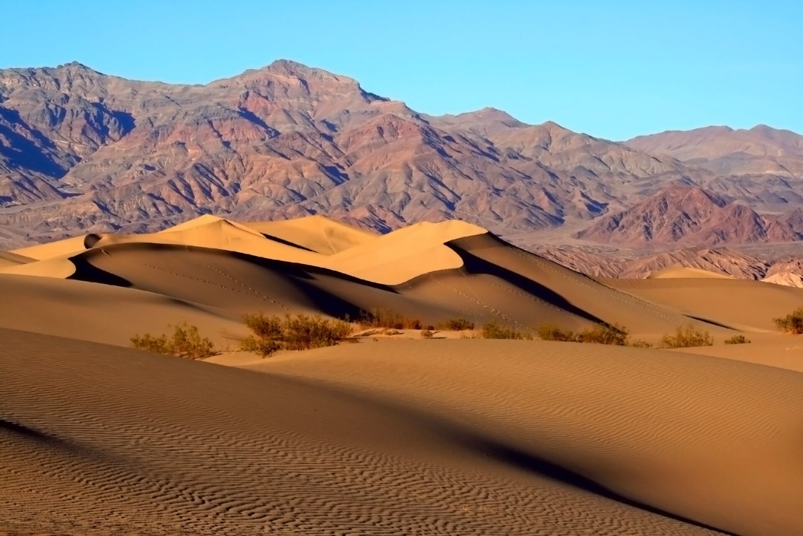
- Mesquite Flat Sand DunesOut-and-back to the high dune near Stovepipe Wells; no formal trail.
- Ubehebe Crater LoopRim loop with exposed edges; about 500 ft gain. Little Hebe en route.
- Golden CanyonBadlands canyon routes from Badwater Road; connect to Gower Gulch.
- Mosaic CanyonPolished marble narrows near Stovepipe Wells; about 1,200 ft gain.
- Darwin FallsDesert oasis waterfall near Panamint Springs; no swimming. Use caution.
- Wildrose PeakHigh-country summit hike in the Panamint Mountains.
- Telescope Peak closed part of the year Park high point at 11,049 ft; snow possible in winter and spring.
Source: nps.gov/deva/planyourvisit/hiking, checked 2026-09-29.
What to see
- HighlightBadwater Basin282 feet below sea level; lowest place in North America.
- HighlightMesquite Flat Sand DunesMost accessible dunes in the park, near Stovepipe Wells Village.
- CanyonTitus CanyonPopular backcountry canyon; one-way high-clearance drive from NV Hwy 374.
- PeakTelescope PeakHighest point in the park at 11,049 ft in the Panamint Range.
- OverlookZabriskie PointBadlands overlook east of Furnace Creek on CA-190.
- Scenic driveArtists PaletteColorful mineral hills on a scenic loop off Badwater Road.
Source: nps.gov/deva/planyourvisit/titus-canyon, checked 2026-09-29.
Public lands next to Death Valley National Park
- Wilderness areaDeath Valley Wilderness lies inside Death Valley National Park.
- Wilderness areaDeath Valley National Park borders Argus Range Wilderness.
- Wilderness areaDeath Valley National Park borders Avawatz Mountains Wilderness.
- Wilderness areaDeath Valley National Park borders Darwin Falls Wilderness.
- Wilderness areaDeath Valley National Park borders Funeral Mountains Wilderness.
- Wilderness areaDeath Valley National Park borders Ibex Wilderness.
- Wilderness areaDeath Valley National Park borders Inyo Mountains Wilderness.
- National forestDeath Valley National Park borders Inyo National Forest.
Measured between the units' boundaries as mapped in USGS PAD-US. Distances are straight line, not driving.
- https://www.nps.gov/state/ca/index.htm (accessed 2026-09-29)
- https://www.nps.gov/deva/planyourvisit/fees.htm (accessed 2026-09-29)
- https://www.nps.gov/deva/planyourvisit/pets.htm (accessed 2026-09-28)
- https://www.nps.gov/deva/planyourvisit/basicinfo.htm (accessed 2026-09-28)
- https://www.nps.gov/deva/planyourvisit/camping-in-death-valley.htm (accessed 2026-09-29)
- https://www.nps.gov/deva/planyourvisit/developed-campgrounds.htm (accessed 2026-09-29)
- https://www.nps.gov/deva/planyourvisit/hiking.htm (accessed 2026-09-29)
- https://www.nps.gov/deva/planyourvisit/telescope-peak.htm (accessed 2026-09-29)
- https://www.nps.gov/deva/planyourvisit/titus-canyon.htm (accessed 2026-09-29)
- https://www.nps.gov/deva/planyourvisit/directions.htm (accessed 2026-09-29)
- https://www.nps.gov/deva/learn/nature/lightscape.htm (accessed 2026-09-29)