John Muir Wilderness
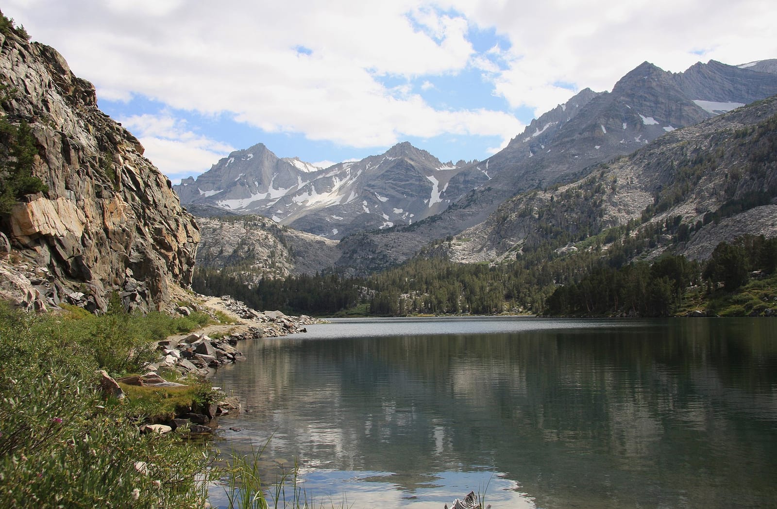
John Muir Wilderness is a 652,903-acre wilderness area in Fresno County, California. The nearest town is Aspen Springs, 0.3 miles away in a straight line.
John Muir Wilderness map
John Muir Wilderness boundary from USGS PAD-US or the managing agency, simplified for display. Not for navigation or legal boundaries.
Fire restrictions
Fire restriction orders for this unit are not tracked here yet. Restrictions change with the season, so check the current orders before any campfire, stove or target shooting.
Who manages John Muir Wilderness
| Agency | Acres | Permit | Group size | Stay limit | Office |
|---|---|---|---|---|---|
| Forest Service | 652,903 | Not on record | Not on record | Not on record | Inyo National Forest, 760-873-2400 |
Getting to John Muir Wilderness
- Aspen Springs, CA is the nearest town, 0.3 miles in a straight line from the boundary (not a driving distance). (US Census places, accessed 2026-09-29)
Trailheads at John Muir Wilderness
- Tuttle Creek Trailhead (inside the boundary), at 36.5537, -118.1842
- Bear Ridge Cutoff (0.01 mi outside the boundary), at 37.3625, -118.9855
- Horton Lakes Trailhead (0.01 mi outside the boundary), at 37.3121, -118.6249
- Rush Creek Trailhead (0.01 mi outside the boundary), at 37.4696, -119.0771
- Shepherd Pass Th (0.01 mi outside the boundary), at 36.7269, -118.2789
- Taboose Pass Trailhead (0.01 mi outside the boundary), at 37.0095, -118.3273
- Red Lake Trailhead (0.02 mi outside the boundary), at 37.0357, -118.3589
- Lamarck Lakes Trailhead (0.03 mi outside the boundary), at 37.2273, -118.6275
Trailhead locations: Forest Service recreation sites layer , accessed 2026-09-29. Elevations from USGS 3DEP.
Named summits, canyons, and springs in John Muir Wilderness
- Aperture Peak summit
- Basin Mountain summit
- Bear Creek Spire summit
- Charlie Canyon canyon
- French Canyon canyon
- Cold Springs spring
- Grover Anton Spring spring
- Muir Lake lake
Features whose official location is inside the boundary, from the USGS Geographic Names Information System, accessed 2026-09-29.
Fishing and water
- Big Pine Creek fishing (right at the boundary): its fishing and stocking record on fishypedia.com.
- Bishop Creek, South Fork fishing (right at the boundary): its fishing and stocking record on fishypedia.com.
- Ward Lake fishing (right at the boundary): its fishing and stocking record on fishypedia.com.
- North Lake fishing (right at the boundary): its fishing and stocking record on fishypedia.com.
- Lake Sabrina fishing (0.1 miles outside the boundary): its fishing and stocking record on fishypedia.com.
Public lands next to John Muir Wilderness
- National forest Most of John Muir Wilderness lies inside Sierra National Forest.
- BLM unitJohn Muir Wilderness borders Alabama Hills National Scenic Area, a BLM unit.
- Wilderness areaJohn Muir Wilderness borders Ansel Adams Wilderness.
- Wilderness areaJohn Muir Wilderness borders Dinkey Lakes Wilderness.
- Wilderness areaJohn Muir Wilderness borders Golden Trout Wilderness.
- National forestJohn Muir Wilderness borders Inyo National Forest.
- Wilderness areaJohn Muir Wilderness borders Monarch Wilderness.
- Wilderness areaJohn Muir Wilderness borders Sequoia-Kings Canyon Wilderness.
Measured between the units' boundaries as mapped in USGS PAD-US. Distances are straight line, not driving.
Other wilderness areas in California
- https://wilderness.net/visit-wilderness/?ID=278 (accessed 2026-09-29)
- https://prd-tnm.s3.amazonaws.com/StagedProducts/GeographicNames/DomesticNames/DomesticNames_CA_Text.zip (accessed 2026-09-29)
- https://www2.census.gov/geo/docs/maps-data/data/gazetteer/2025_Gazetteer/2025_gaz_place_06.txt (accessed 2026-09-29)
- https://apps.fs.usda.gov/arcx/rest/services/EDW/EDW_InfraRecreationSites_01/MapServer/0 (accessed 2026-09-29)