Neal Smith National Wildlife Refuge
Neal Smith National Wildlife Refuge is a national wildlife refuge in Jasper County, Iowa run by the U.S. Fish and Wildlife Service. There is no entrance fee. It is open from sunrise to sunset.
Current notices posted by the managing agency. Checked Oct. 5, 2026.
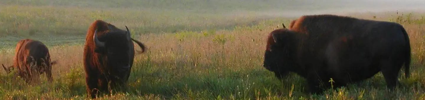
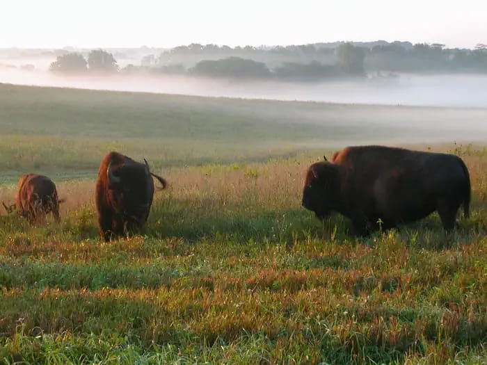
- Closure: Closures: Visitor Center and Bison Enclosure Road Closed Closure Notice: Visitor Center The Visitor Center (Prairie Learning Center) is closed due to storm damage to ensure public safety. However, the land and walking trails remain open from sunrise to sunset daily. We invite you to enjoy these outdoor areas while repairs are underway. Bison Enclosure Road is Currently Open: The road through the bison enclosure, South 96th Avenue W., is currently open.
Check current closures and fire restrictions for Neal Smith National Wildlife Refuge on the managing agency's own page.
Neal Smith National Wildlife Refuge map
Neal Smith National Wildlife Refuge boundary from USGS PAD-US or the managing agency, simplified for display. Not for navigation or legal boundaries.
Fire restrictions
This unit's own agency alerts list no fire restriction as of Oct. 5, 2026. We do not check a statewide fire-order feed for IA, so that is not a statement that no order exists, and not a green light for a fire. Check with the land manager and your county before you light anything.
Common questions
- Neal Smith National Wildlife Refuge is open from sunrise to sunset.
- No. There is no entrance fee at Neal Smith National Wildlife Refuge.
Hours, fees, and visitor center
Neal Smith National Wildlife Refuge is open from sunrise to sunset.
There is no entrance fee at Neal Smith National Wildlife Refuge.
What visitors do here: wildlife viewing, hiking, an auto tour route, hunting, fishing.
Getting there
- Nearest town: Prairie City, 3 miles
Source: www2.census.gov, checked 2026-09-30.
Public lands next to Neal Smith National Wildlife Refuge
- National wildlife refugeNeal Smith National Wildlife Refuge borders Northern Tallgrass Prairie National Wildlife Refuge.
Measured between the units' boundaries as mapped in USGS PAD-US. Distances are straight line, not driving.
Photos
Data source: Recreation.gov
- fws.gov (accessed 2026-09-30)
- recreation.gov (accessed 2026-09-29)
- www2.census.gov (accessed 2026-09-30)