Great Meadows National Wildlife Refuge
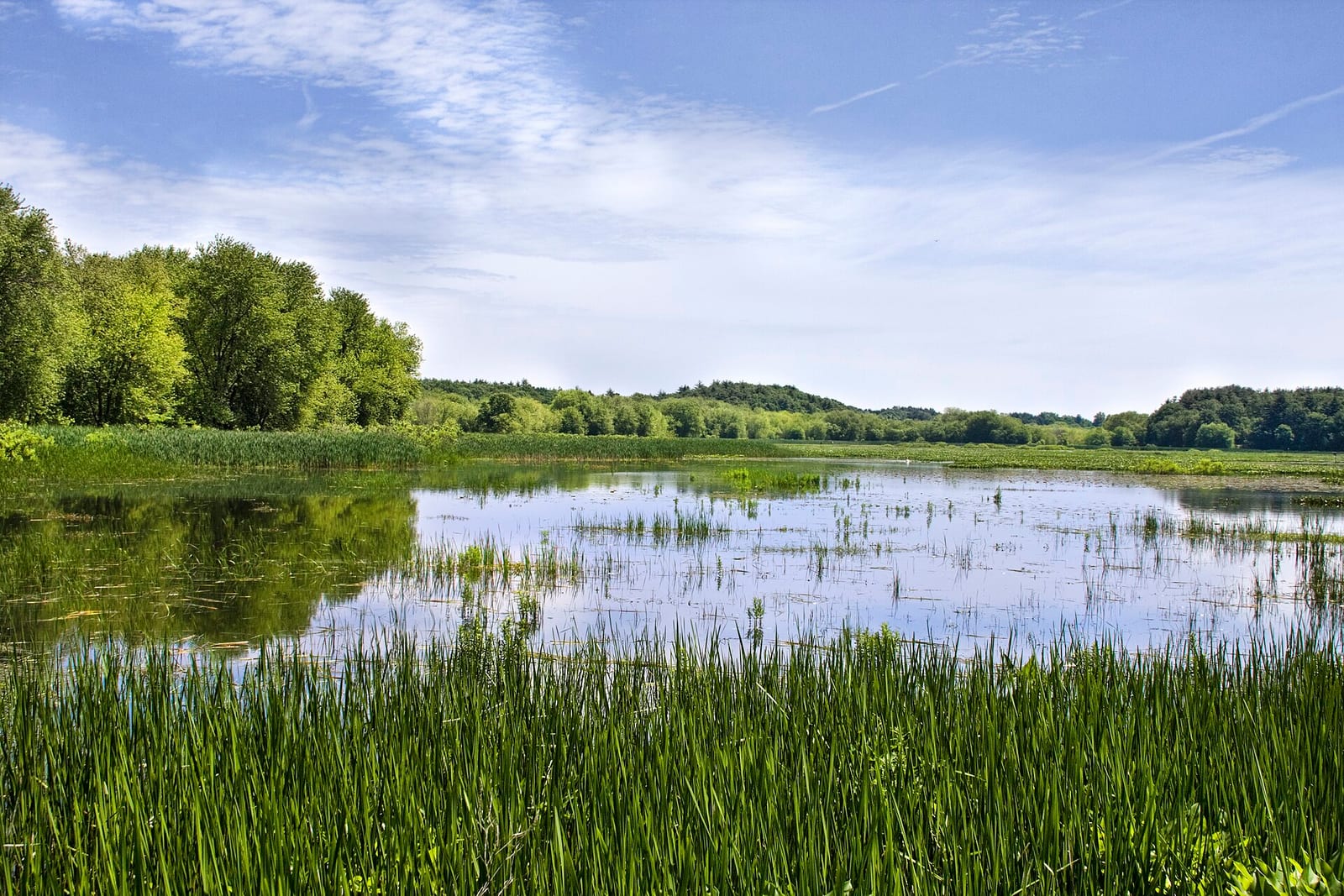
Great Meadows National Wildlife Refuge is a national wildlife refuge in Middlesex County, Massachusetts run by the U.S. Fish and Wildlife Service.
Check current closures and fire restrictions for Great Meadows National Wildlife Refuge on the managing agency's own page.
Great Meadows National Wildlife Refuge map
Great Meadows National Wildlife Refuge boundary from USGS PAD-US or the managing agency, simplified for display. Not for navigation or legal boundaries.
Fire restrictions
This unit's own agency alerts list no fire restriction as of Oct. 5, 2026. We do not check a statewide fire-order feed for MA, so that is not a statement that no order exists, and not a green light for a fire. Check with the land manager and your county before you light anything.
Hours, fees, and visitor center
What visitors do here: birding, hiking, hunting, fishing, boating.
Wildlife
- BirdWaterfowl
- BirdMigratory birds
Getting there
- Nearest town: Cochituate, 4.3 miles
Source: www2.census.gov, checked 2026-09-30.
Public lands next to Great Meadows National Wildlife Refuge
- National Park Service unitMinute Man National Historical Park is 0.2 miles away, straight line between the two boundaries.
- State parkCochituate State Park is 1 mile away, straight line between the two boundaries.
- State parkGreat Brook Farm State Park is 1.6 miles away, straight line between the two boundaries.
- National wildlife refugeAssabet River National Wildlife Refuge is 2.6 miles away, straight line between the two boundaries.
Measured between the units' boundaries as mapped in USGS PAD-US. Distances are straight line, not driving.
- fws.gov (accessed 2026-09-30)
- www2.census.gov (accessed 2026-09-30)