Huron-Manistee National Forest
Huron-Manistee National Forest covers 978,906 acres across Michigan. Free dispersed camping is allowed.
Huron-Manistee National Forest map
Huron-Manistee National Forest boundary from USGS PAD-US or the managing agency, simplified for display. Not for navigation or legal boundaries.
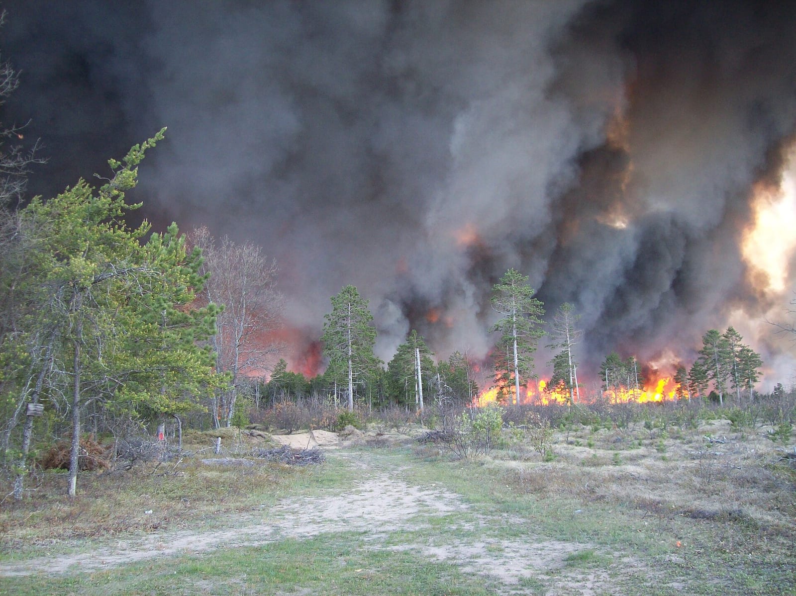
Fire restrictions
Agency fire restriction orders for this unit are not tracked here yet. Restrictions change with the season, so check the current orders before any campfire, stove or target shooting.
County and local burn bans may also apply on private, state, or county land nearby. On federal land, follow the land manager's order; off it, follow the strictest county or local rule that applies. When both touch your trip, obey both.
Camping on Huron-Manistee National Forest
Dispersed camping allowed
21 campgrounds inside the forest boundary have their own page on campgroundsdb.com, with site counts and reservations:
- Au Sable Loop Recreation Area Campground
- Chimney Loop Campground
- Gabions Campground
- Hungerford Equestrian Group Campsite
- Island Lake Recreation Area camping
- Kneff Lake Recreation Area camping
- Lake Michigan at Manistee camping
- Lake Michigan Recreation Area camping
- Mack Lake Orv Campground
- Marzinski Horse Campground
- Meadows Orv Campground
- Monument Campground
- Peterson Bridge Campground
- Pines Point Recreation Area camping
- Rollways Recreation Area Campground
- Round Lake Recreation Area Campground
- Sand Lake Recreation Area camping
- Seaton Creek Recreation Area camping
- South Branch Trail Camp Group Site
- Wagner Lake Recreation Area camping
- Wakeley Lake Campground
Bowman Bridge Campground (right at the boundary): its sites, fees, and reservations on campgroundsdb.com.
Fire restrictions change by district and season: check the current alerts and restrictions before you go.
Fishing and water
Fishing inside the boundary: Condon Lake fishing , Cooke Dam Pond fishing , Crater Lake fishing , Horseshoe Lake fishing , Loud Dam Pond fishing , Nichols Lake fishing , O'Brien Lake fishing , Reid Lake fishing , with stocking records and species on fishypedia.com.
- Mack Lake fishing (0.1 miles outside the boundary): its fishing and stocking record on fishypedia.com.
- Harper Lake fishing (0.1 miles outside the boundary): its fishing and stocking record on fishypedia.com.
- Sand Lake fishing (0.1 miles outside the boundary): its fishing and stocking record on fishypedia.com.
- Hardy Dam Pond fishing (0.1 miles outside the boundary): its fishing and stocking record on fishypedia.com.
- Round Lake fishing (0.1 miles outside the boundary): its fishing and stocking record on fishypedia.com.
Public lands next to Huron-Manistee National Forest
- Wilderness areaNordhouse Dunes Wilderness lies inside Huron-Manistee National Forest.
- State parkHuron-Manistee National Forest borders Ludington State Park.
- State parkHuron-Manistee National Forest borders Newaygo State Park.
- State parkHarrisville State Park is 0.1 miles away, straight line between the two boundaries.
- State parkMitchell State Park is 0.2 miles away, straight line between the two boundaries.
- State parkNegwegon State Park is 1 mile away, straight line between the two boundaries.
- State parkFred Meijer White Pine Trail State Park is 1.3 miles away, straight line between the two boundaries.
- State parkWhite Pine Trail State Park is 1.3 miles away, straight line between the two boundaries.
Measured between the units' boundaries as mapped in USGS PAD-US. Distances are straight line, not driving.
- geo.dot.gov (accessed 2026-09-30)
- www2.census.gov (accessed 2026-09-30)
- en.wikipedia.org (accessed 2026-09-30)
The sentences on this page are generated by software from the sourced records above, not written by hand. How this content is made.