Delaware Water Gap National Recreation Area
Delaware Water Gap National Recreation Area is a national recreation area run by the National Park Service that spans New Jersey and Pennsylvania: about 27,040 acres of it are in Pike County, Pennsylvania.
Current notices posted by the managing agency. Checked Nov. 14, 2026.
- Closure: Old Mine Road North Construction Closure Begins April 6, 2026 Old Mine Road between Jager Road and Route 206 will close to all traffic beginning on April 6, 2026. Contractors will work to rehabilitate a 3.5-mile stretch of road. The construction area will be closed to all traffic for the safety of park visitors and contractors. Since April 6, 2026.
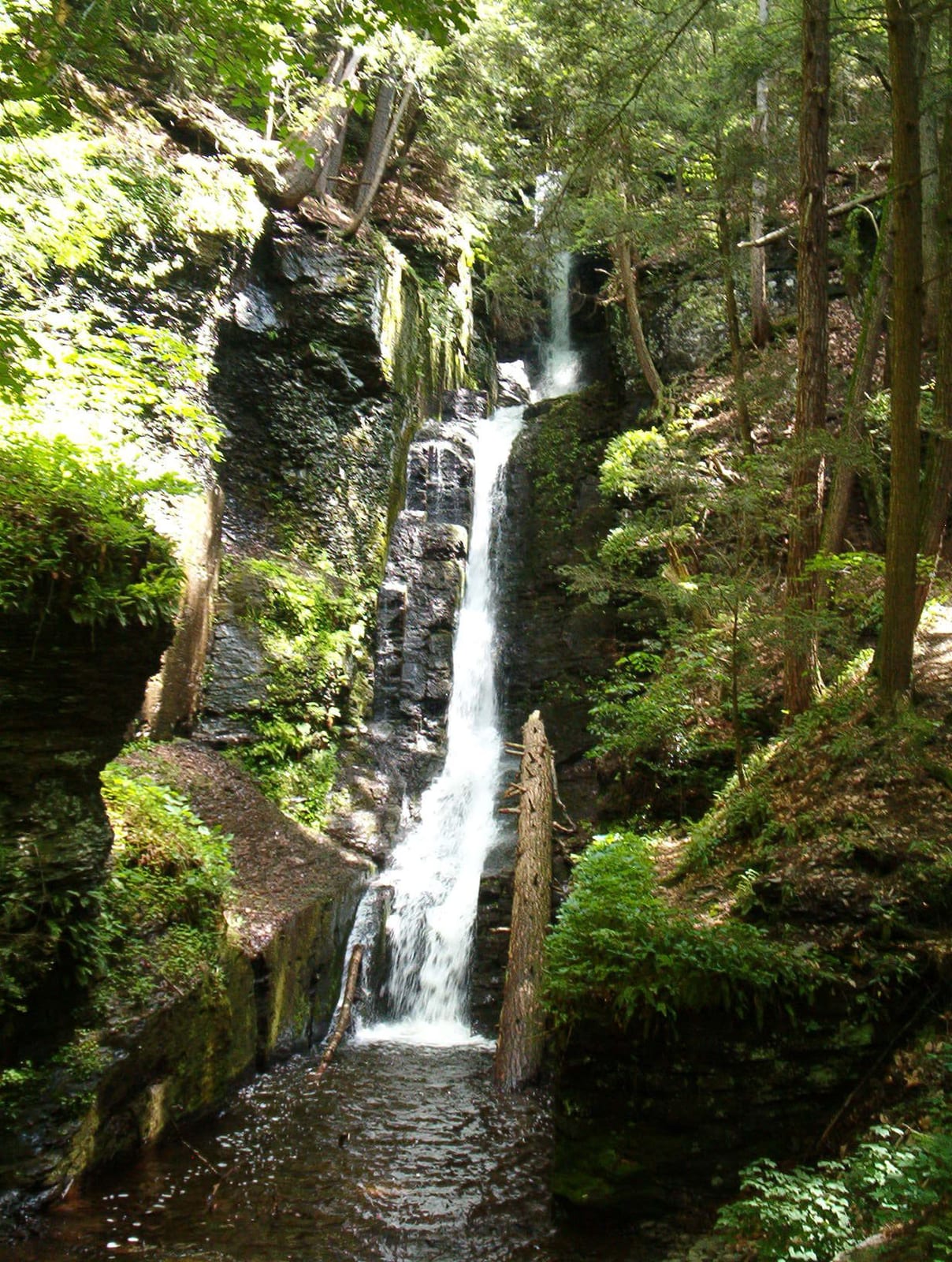
- Closure: Dingmans Falls Trail, Road, and Access Closed for Bridge Replacement Dingmans Falls site is closed for a bridge replacement project and trail rehabilitation. All traffic, including pedestrian, cyclist, and vehicle traffic, is prohibited on the road and trail during construction.
Check current closures and fire restrictions for Delaware Water Gap National Recreation Area on the managing agency's own page.
Delaware Water Gap National Recreation Area map
Delaware Water Gap National Recreation Area boundary from USGS PAD-US or the managing agency, simplified for display. Not for navigation or legal boundaries.
Fire restrictions
This unit's own agency alerts list no fire restriction as of Nov. 14, 2026. We do not check a statewide fire-order feed for PA, so that is not a statement that no order exists, and not a green light for a fire. Check with the land manager and your county before you light anything.
County and local burn bans may also apply on private, state, or county land nearby. On federal land, follow the land manager's order; off it, follow the strictest county or local rule that applies. When both touch your trip, obey both.
Getting there
- Nearest town: Pocono Mountain Lake Estates, 1.5 miles
Source: www2.census.gov, checked 2026-09-30.
What to see
- HighlightNational Recreation AreaNPS unit designation
Source: nps.gov, checked 2026-09-30.
Public lands next to Delaware Water Gap National Recreation Area
- National Park Service unitDelaware Water Gap National Recreation Area borders Appalachian National Scenic Trail, a National Park Service unit.
- National wildlife refugeDelaware Water Gap National Recreation Area borders Cherry Valley National Wildlife Refuge.
Measured between the units' boundaries as mapped in USGS PAD-US. Distances are straight line, not driving.
- nps.gov (accessed 2026-09-30)
- www2.census.gov (accessed 2026-09-30)
- nps.gov (accessed 2026-09-30)
- nps.gov (accessed 2026-09-30)
The sentences on this page are generated by software from the sourced records above, not written by hand. How this content is made.