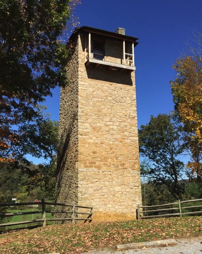
Shot Tower Historical State Park
The park entrance is 2.8 miles from Austinville. Day-use fee: No parking fee (DCR free-entry parks / sites). Hours: Dawn to dusk. Shot Tower Historical State Park is a state park in Wythe County, Virginia.
Shot Tower Historical State Park map
Shot Tower Historical State Park boundary from USGS PAD-US or the managing agency, simplified for display. Not for navigation or legal boundaries.
Fire restrictions
Agency fire restriction orders for this unit are not tracked here yet. Restrictions change with the season, so check the current orders before any campfire, stove or target shooting.
County and local burn bans may also apply on private, state, or county land nearby. On federal land, follow the land manager's order; off it, follow the strictest county or local rule that applies. When both touch your trip, obey both.
Common questions
- Entry to Shot Tower Historical State Park: No parking fee (DCR free-entry parks / sites). Hours: Dawn to dusk.
- Shot Tower Historical State Park is 2.8 miles from Austinville.
Before you go
Shot Tower Historical State Park is 2.8 miles from Austinville.
What to see
- Historic site State historic park / site Designation in agency park name
- State park Designation in agency park name
Public lands next to Shot Tower Historical State Park
- State parkNew River Trail State Park is 0.1 miles away, straight line between the two boundaries.
Measured between the units' boundaries as mapped in USGS PAD-US. Distances are straight line, not driving.
- dcr.virginia.gov (accessed 2026-09-30)
- en.wikipedia.org (accessed 2026-09-30)
- www2.census.gov (accessed 2026-09-30)
- dcr.virginia.gov (accessed 2026-09-30)
- dcr.virginia.gov (accessed 2026-09-30)
The sentences on this page are generated by software from the sourced records above, not written by hand. How this content is made.