Carson National Forest
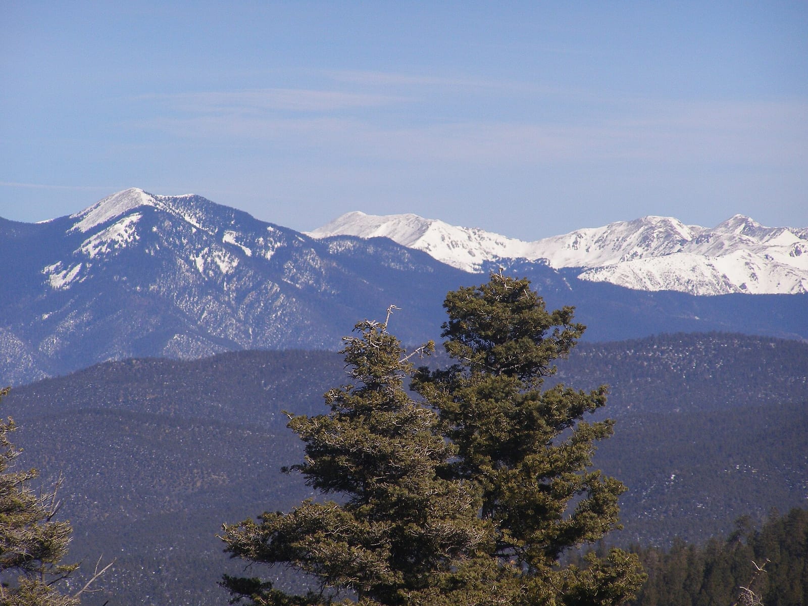
Carson National Forest covers 1,391,674 acres across New Mexico.
Carson National Forest map
Carson National Forest boundary from USGS PAD-US or the managing agency, simplified for display. Not for navigation or legal boundaries.
Fire restrictions
Agency fire restriction orders for this unit are not tracked here yet. Restrictions change with the season, so check the current orders before any campfire, stove or target shooting.
County and local burn bans may also apply on private, state, or county land nearby. On federal land, follow the land manager's order; off it, follow the strictest county or local rule that applies. When both touch your trip, obey both.
Camping on Carson National Forest
9 campgrounds inside the forest boundary have their own page on campgroundsdb.com, with site counts and reservations:
Twining camping (0.1 miles outside the boundary): its sites, fees, and reservations on campgroundsdb.com.
Fire restrictions change by district and season: check the current alerts and restrictions before you go.
Fishing and water
Fishing inside the boundary: Cabresto Lake fishing , Canjilon Lakes fishing , Eagle Rock Lake fishing , Hopewell Lake fishing , Red River (abv Questa) fishing , Red River (below Questa) fishing , Shuree Ponds fishing , with stocking records and species on fishypedia.com.
- Red River East Fork fishing (right at the boundary): its fishing and stocking record on fishypedia.com.
- Red River West Fork fishing (right at the boundary): its fishing and stocking record on fishypedia.com.
- Costilla Reservoir water level (0.1 miles outside the boundary): its dam and reservoir record on reservoirfinder.com.
- Rio Grande (gorge- Abv Pilar) fishing (0.6 miles outside the boundary): its fishing and stocking record on fishypedia.com.
Public lands next to Carson National Forest
- Wilderness areaColumbine-Hondo Wilderness lies inside Carson National Forest.
- Wilderness areaCruces Basin Wilderness lies inside Carson National Forest.
- Wilderness areaLatir Peak Wilderness lies inside Carson National Forest.
- Wilderness areaWheeler Peak Wilderness lies inside Carson National Forest.
- Wilderness areaCarson National Forest borders Chama River Canyon Wilderness.
- Wilderness areaCarson National Forest borders Pecos Wilderness.
- BLM unitCarson National Forest borders Río Grande Del Norte National Monument.
- Wilderness areaCarson National Forest borders Rio San Antonio Wilderness.
Measured between the units' boundaries as mapped in USGS PAD-US. Distances are straight line, not driving.
- geo.dot.gov (accessed 2026-09-30)
- www2.census.gov (accessed 2026-09-30)
- en.wikipedia.org (accessed 2026-09-30)
The sentences on this page are generated by software from the sourced records above, not written by hand. How this content is made.