State park
Schoharie Crossing State Historic Site
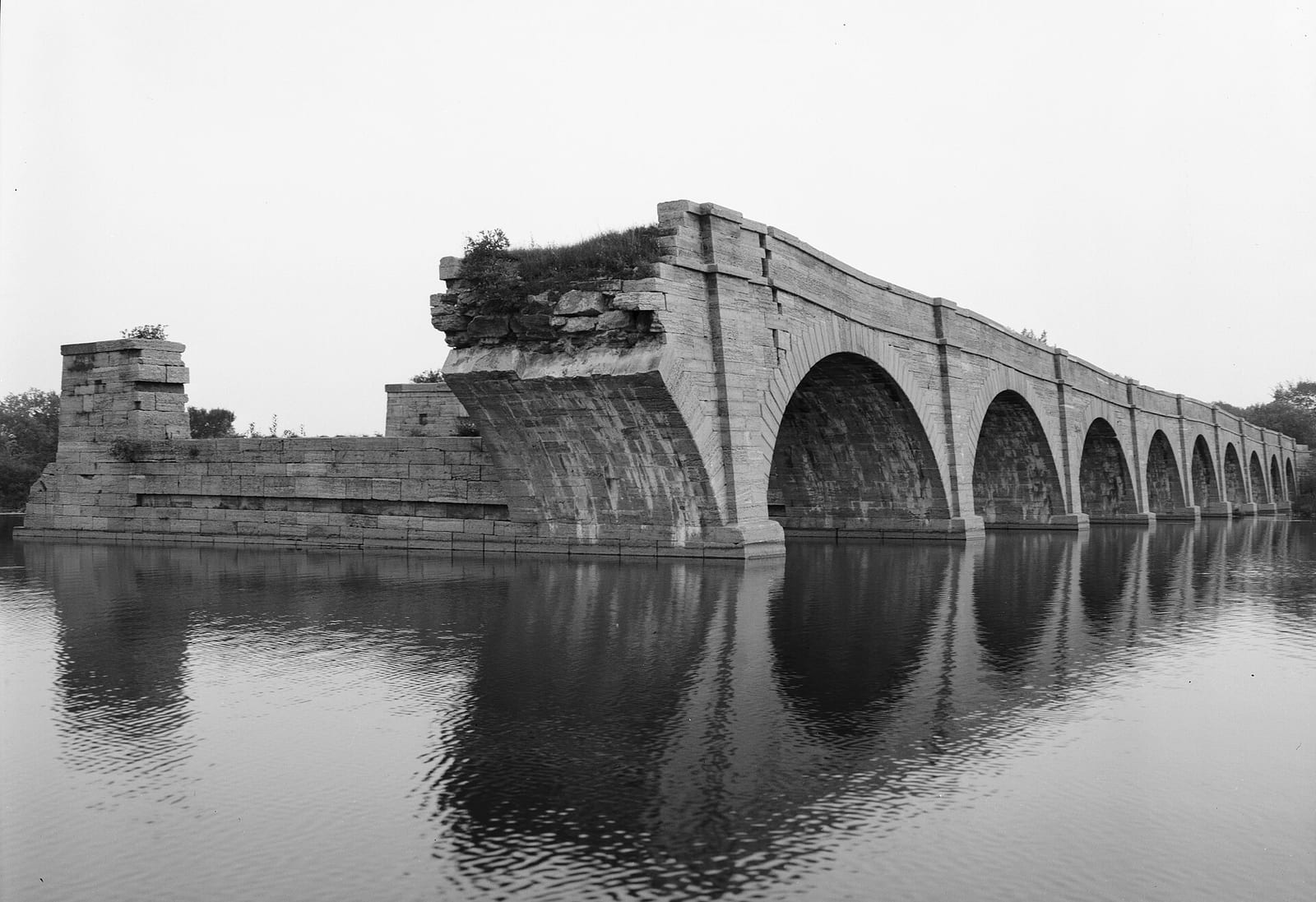
The park entrance is 0.4 miles from Fort Johnson. Day use costs Historic site admission typically $1–$6. Schoharie Crossing State Historic Site is a state park in Montgomery County, New York.
Schoharie Crossing State Historic Site map
Schoharie Crossing State Historic Site boundary from USGS PAD-US or the managing agency, simplified for display. Not for navigation or legal boundaries.
Fire restrictions
Fire restriction orders for this unit are not tracked here yet. Restrictions change with the season, so check the current orders before any campfire, stove or target shooting.
Common questions
- Entry to Schoharie Crossing State Historic Site costs Historic site admission typically $1–$6.
- Schoharie Crossing State Historic Site is 0.4 miles from Fort Johnson.
- Yes, dogs are allowed at Schoharie Crossing State Historic Site.
Before you go
Schoharie Crossing State Historic Site is 0.4 miles from Fort Johnson.
- Flush restrooms
Trails
- Delaware National Seashores Fire Island National Trail Named on agency or Wikipedia page
- Lake Canoe-Picnic Point Captree Catharine Valley Trail Named on agency or Wikipedia page
- Taughannock Falls Thompson's Lake Three Falls Trail Named on agency or Wikipedia page
- Turkey Mountain Turner Brook Wallkill Valley Rail Trail Named on agency or Wikipedia page
What to see
- Historic site Park museum Mentioned in Wikipedia park article
- Historic site State historic park / site Designation in agency park name
Fishing and water
- Schoharie Creek fishing (right at the boundary): its fishing and stocking record on fishypedia.com.
- Kayaderosseras Creek fishing (0.2 miles outside the boundary): its fishing and stocking record on fishypedia.com.
- parks.ny.gov (accessed 2026-09-30)
- en.wikipedia.org (accessed 2026-09-30)
- www2.census.gov (accessed 2026-09-30)
- usgs.gov (accessed 2026-09-30)
- parks.ny.gov (accessed 2026-09-30)
- newyorkstateparks.reserveamerica.com (accessed 2026-09-30)
- parks.ny.gov (accessed 2026-09-30)