Oyster Bay National Wildlife Refuge
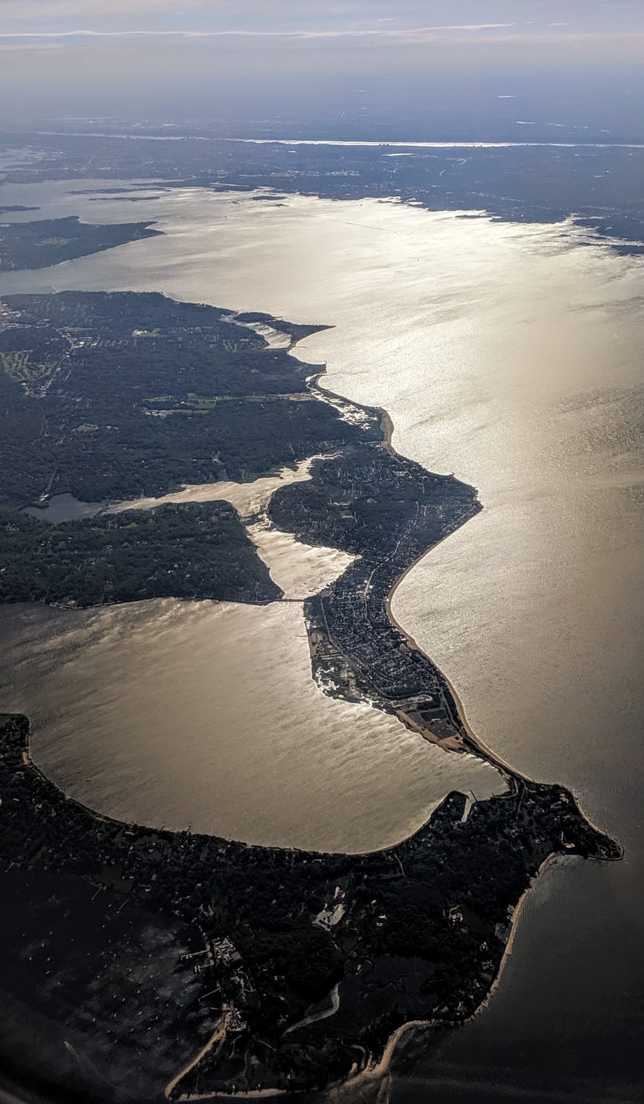
Oyster Bay National Wildlife Refuge is a national wildlife refuge in Nassau County, New York run by the U.S. Fish and Wildlife Service.
Check current closures and fire restrictions for Oyster Bay National Wildlife Refuge on the managing agency's own page.
Oyster Bay National Wildlife Refuge map
Oyster Bay National Wildlife Refuge boundary from USGS PAD-US or the managing agency, simplified for display. Not for navigation or legal boundaries.
Fire restrictions
This unit's own agency alerts list no fire restriction as of Oct. 5, 2026. We do not check a statewide fire-order feed for NY, so that is not a statement that no order exists, and not a green light for a fire. Check with the land manager and your county before you light anything.
Places on the refuge
- PlaceNational Wildlife RefugeFWS National Wildlife Refuge System unit
- PlaceVisitor destinationFWS refuge with a public page
Source: fws.gov, checked 2026-09-30.
Getting there
- Nearest town: Centre Island, 1 miles
Source: www2.census.gov, checked 2026-09-30.
Public lands next to Oyster Bay National Wildlife Refuge
- National Park Service unitOyster Bay National Wildlife Refuge borders Sagamore Hill National Historic Site.
- State parkPlanting Fields Arboretum State Historic Park is 0.4 miles away, straight line between the two boundaries.
- State parkCaumsett State Historic Park Preserve is 1.1 miles away, straight line between the two boundaries.
- State parkCold Spring Harbor State Park is 1.3 miles away, straight line between the two boundaries.
- State parkTrail View State Park is 1.9 miles away, straight line between the two boundaries.
Measured between the units' boundaries as mapped in USGS PAD-US. Distances are straight line, not driving.
- fws.gov (accessed 2026-09-30)
- www2.census.gov (accessed 2026-09-30)
- fws.gov (accessed 2026-09-30)