White Mountain National Forest
White Mountain National Forest covers 750,852 acres across Maine.
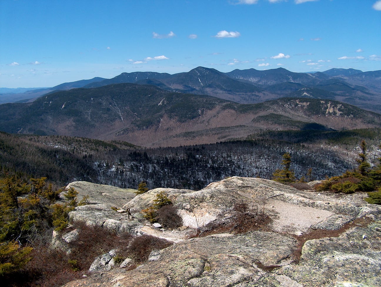
White Mountain National Forest map
White Mountain National Forest boundary from USGS PAD-US or the managing agency, simplified for display. Not for navigation or legal boundaries.
Fire restrictions
Fire restriction orders for this unit are not tracked here yet. Restrictions change with the season, so check the current orders before any campfire, stove or target shooting.
Camping on White Mountain National Forest
The Forest Service lists 23 campgrounds and camping areas on White Mountain National Forest.
1 campgrounds inside the forest boundary have their own page on campgroundsdb.com, with site counts and reservations:
- Cold River camping (0.2 miles outside the boundary): its sites, fees, and reservations on campgroundsdb.com.
- Basin camping (0.7 miles outside the boundary): its sites, fees, and reservations on campgroundsdb.com.
Fire restrictions change by district and season: check the current alerts and restrictions before you go.
Public lands next to White Mountain National Forest
- Wilderness areaCaribou-Speckled Mountain Wilderness lies inside White Mountain National Forest.
Measured between the units' boundaries as mapped in USGS PAD-US. Distances are straight line, not driving.
- geo.dot.gov (accessed 2026-09-30)
- en.wikipedia.org (accessed 2026-09-30)
- www2.census.gov (accessed 2026-10-02)