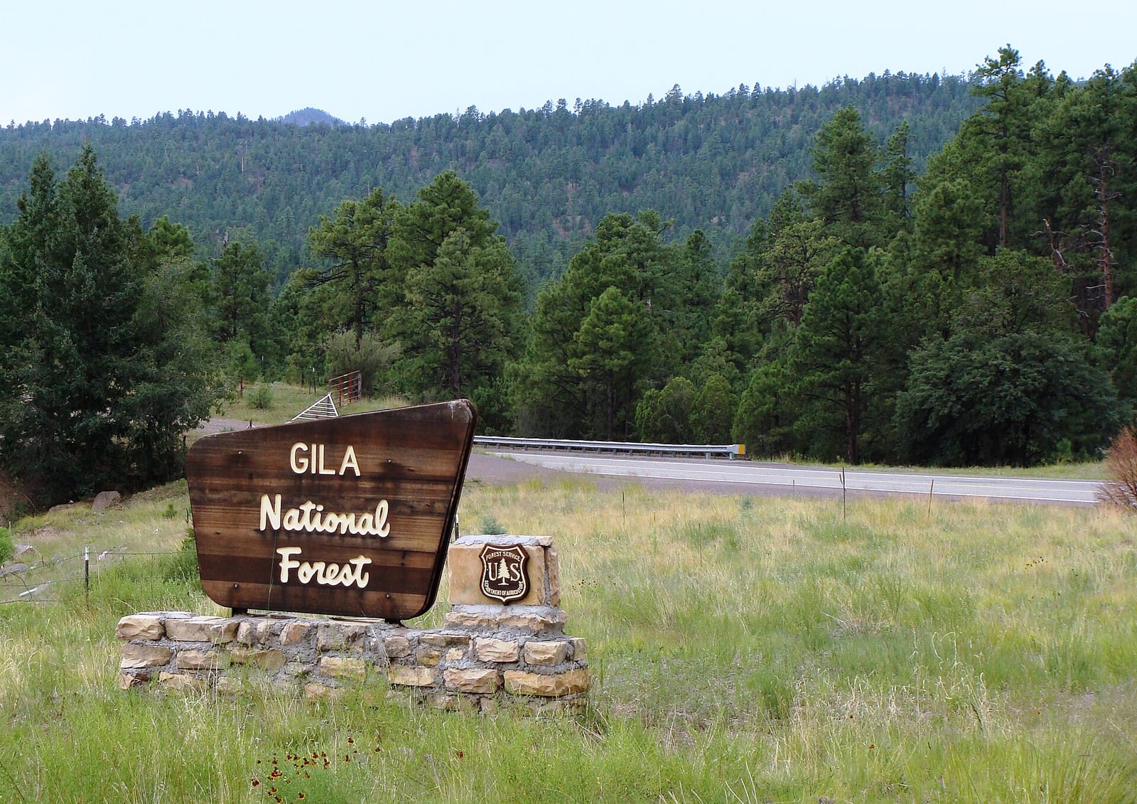
Gila National Forest
Gila National Forest covers 2,710,659 acres across HC and New Mexico. Free dispersed camping is allowed.
Current notices posted by the managing agency. Checked Oct. 5, 2026.
- Closure: Catwalk Recreation Area Temporary Closure (Flooding) For public safety, the Catwalk National Recreation Area is closed until further notice due to recent flooding along Whitewater Creek. Since Oct. 2, 2026.
- Closure: FR 141 construction road closure near Reserve As of Sept. 23, 2026, there is a closure order in place along FSR 141 near Reserve. This closure will be in effect intermittently, mid-week (Tuesdays and Wednesdays) as needed by the contractor, and as needed for unforeseen events where closure of the road is necessary to protect public health and… Since Aug. 24, 2026.
- Closure: Quemado Lake Area/Trail Closure - Harmful Algal Blooms The Gila National Forest has issued a public health and safety area closure of Quemado Lake due to a harmful algal bloom. The area closure will remain in effect until December 31, 2026 at 6 a.m., or until NMED advises that the lake is safe for public use. Since Aug. 5, 2026.
- Closure: Ben Lilly and Willow Creek Campground Closure The Gila National Forest is issuing a temporary closure order for the Ben Lilly Campground and the Willow Creek Campground, in effect from 6 a.m. on July 21, 2026 through October 16, 2026 (or until rescinded). This order serves to protect public health and safety as monsoonal flood events have… Since July 21, 2026.
- Closure: Bear Fire Area/Road Closure An area closure goes into effect at 6:00 a.m. Saturday, June 13 for all National Forest System lands east of Catron County Road A095 (Mangas Road), as well as all roads and trails within the area closure (see map). Since June 12, 2026.
- Closure: Romero Creek bridge replacement and traffic closure north of Luna (FR 220) June 1 - early DecemberThe Gila National Forest will close approximately 1.5 miles of Forest Road (FR) 220 north of Luna while a contractor for the Federal Highway Administration removes and replaces a bridge over Romero Creek, just east of Romero Lake. FR 220 will be closed near the Romero Creek… Since June 1, 2026.
Check current closures and fire restrictions for Gila National Forest on the managing agency's own page.
Gila National Forest map
Gila National Forest boundary from USGS PAD-US or the managing agency, simplified for display. Not for navigation or legal boundaries.
Fire restrictions
This unit's own agency alerts list no fire restriction as of Oct. 5, 2026. We do not check a statewide fire-order feed for NM, so that is not a statement that no order exists, and not a green light for a fire. Check with the land manager and your county before you light anything.
County and local burn bans may also apply on private, state, or county land nearby. On federal land, follow the land manager's order; off it, follow the strictest county or local rule that applies. When both touch your trip, obey both.
Common questions
- Yes, dispersed camping is allowed on Gila National Forest without a fee.
- The Forest Service lists 30 campgrounds and camping areas on Gila National Forest.
- Gila National Forest has 6 district offices: Gila National Forest Office in Silver City (575-388-8201), Glenwood Ranger District in Glenwood (575-539-2481), Quemado Ranger District in Quemado (575-773-4678), Reserve Ranger District in Reserve (575-533-6232), Silver City Ranger District in E Camino del Bosque Silver City (575-388-8201), and Wilderness Ranger District in N. (575-536-2250).
- Gila National Forest is managed through 5 ranger districts: Glenwood Ranger District, Quemado Ranger District, Reserve Ranger District, Silver City Ranger District, and Wilderness Ranger District.
Camping on Gila National Forest
Dispersed camping allowed
The Forest Service lists 30 campgrounds and camping areas on Gila National Forest.
Coal Creek Campground (0.7 miles outside the boundary): its sites, fees, and reservations on campgroundsdb.com.
Fire restrictions change by district and season: check the current alerts and restrictions before you go.
Gila National Forest maps
- Interactive forest map from the Forest Service
- Motor Vehicle Use Maps: which roads are open to which vehicles, and so where you can legally drive to a dispersed site
- Forest visitor map
Ranger district offices
| Black Range District Office | Truth or Consequences, NM | 575-894-6678 | Mon. - Fri. 8:00 am - 4:00 pm Closed on federal holidays. (Closed on federal holidays) |
| Gila National Forest Office | Silver City, NM | 575-388-8201 | Mon. - Fri. 8:00 am - 4:30 pm Closed on federal holidays. (Closed on federal holidays) |
| Glenwood Ranger District | Glenwood, NM | 575-539-2481 | Mon. - Fri. 8:00 am - 4:30 pm (Closed on federal holidays) |
| Quemado Ranger District | Quemado, NM | 575-773-4678 | Mon. - Fri. 8:00 am - 4:00 pm (Closed on federal holidays) |
| Reserve Ranger District | Reserve, NM | 575-533-6232 | Mon. - Fri. 8:00 am - 4:30 pm (Closed on federal holidays) |
| Silver City Ranger District | E Camino del Bosque Silver City, NM | 575-388-8201 | Mon. - Fri. 8:00 a.m. - 4:30 p.m. (Closed on federal holidays) |
| Wilderness Ranger District | N., HC | 575-536-2250 | Mon. - Fri. 8:00 a.m. - 4:30 p.m. (Closed on federal holidays) |
Fishing and water
Fishing inside the boundary: Black Canyon fishing , Gilita Creek fishing , Quemado Lake fishing , Sapillo Creek (nr Lake Roberts) fishing , Snow Lake fishing , with stocking records and species on fishypedia.com.
- Lake Roberts fishing (0.1 miles outside the boundary): its fishing and stocking record on fishypedia.com.
- Bear Canyon Reservoir fishing (0.8 miles outside the boundary): its fishing and stocking record on fishypedia.com.
Public lands next to Gila National Forest
- Wilderness areaAldo Leopold Wilderness lies inside Gila National Forest.
- Wilderness areaBlue Range Wilderness lies inside Gila National Forest.
- Wilderness areaGila Wilderness lies inside Gila National Forest.
- National Park Service unitGila National Forest borders Gila Cliff Dwellings National Monument.
Measured between the units' boundaries as mapped in USGS PAD-US. Distances are straight line, not driving.
- geo.dot.gov (accessed 2026-09-30)
- www2.census.gov (accessed 2026-09-30)
- en.wikipedia.org (accessed 2026-09-30)
- fs.usda.gov (accessed 2026-09-30)
- fs.usda.gov (accessed 2026-09-30)
The sentences on this page are generated by software from the sourced records above, not written by hand. How this content is made.