Aldo Leopold Wilderness
Aldo Leopold Wilderness is a 203,548-acre wilderness area in Sierra County, New Mexico. It rises from about 5,972 to 10,158 ft. The nearest town is Kingston, 2.5 miles away in a straight line.
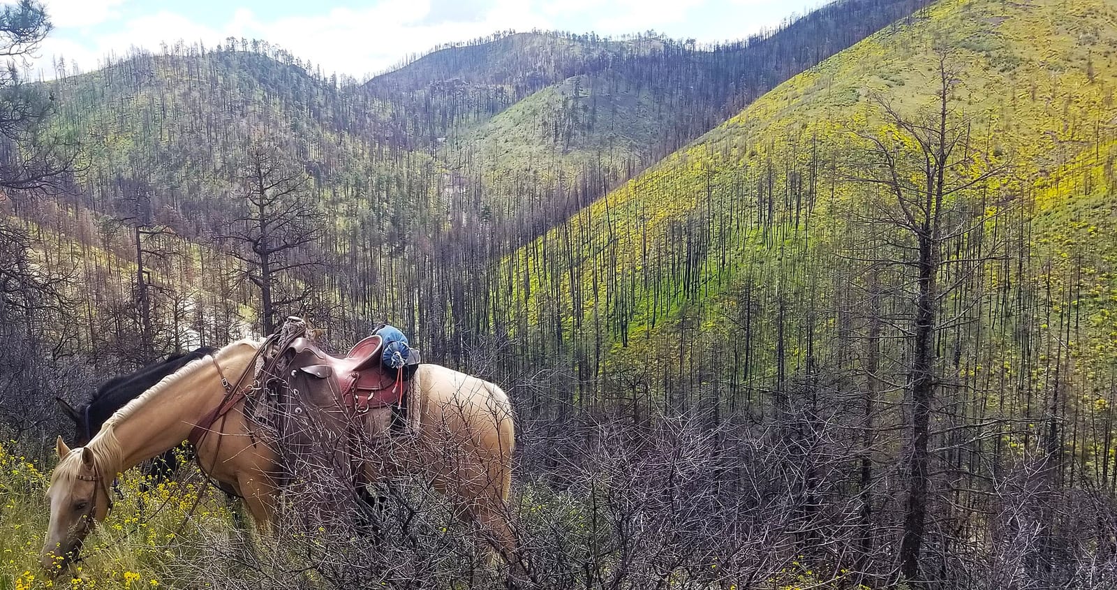
Aldo Leopold Wilderness map
Aldo Leopold Wilderness boundary from USGS PAD-US or the managing agency, simplified for display. Not for navigation or legal boundaries.
Fire restrictions
Agency fire restriction orders for this unit are not tracked here yet. Restrictions change with the season, so check the current orders before any campfire, stove or target shooting.
County and local burn bans may also apply on private, state, or county land nearby. On federal land, follow the land manager's order; off it, follow the strictest county or local rule that applies. When both touch your trip, obey both.
Common questions
- The maximum group size at Aldo Leopold Wilderness is 25.
- Kingston, NM is the nearest town, 2.5 miles in a straight line from the boundary (not a driving distance).
- The highest ground in Aldo Leopold Wilderness is about 10,158 ft, and its lowest about 5,972 ft (USGS 3DEP elevation model). Its highest named summit is McKnight Mountain, about 10,158 ft.
Who manages Aldo Leopold Wilderness
| Agency | Acres | Permit | Group size | Stay limit | Office |
|---|---|---|---|---|---|
| Forest Service | 203,548 | Not on record | 25 | Not on record | Wilderness Ranger District, 575-536-2250 |
Getting to Aldo Leopold Wilderness
- Kingston, NM is the nearest town, 2.5 miles in a straight line from the boundary (not a driving distance). (US Census places, accessed 2026-09-30)
Trailheads at Aldo Leopold Wilderness
- MeOwn #707 Trailhead (inside the boundary, 7,583 ft), at 33.2100, -108.0151
- South Diamond (inside the boundary, 6,573 ft), at 33.2664, -108.0534
- Turkey Run #42 Trailhead (0.01 mi outside the boundary, 7,953 ft), at 33.3051, -107.8500
- McKnight #79 Trailhead (0.02 mi outside the boundary, 9,594 ft), at 33.0302, -107.8523
- Board Gate Saddle (0.04 mi outside the boundary, 9,340 ft), at 33.0044, -107.8562
- CDNST/Mimbres Access (0.1 mi outside the boundary, 7,601 ft), at 33.0666, -107.9854
- Diamond Creek (0.11 mi outside the boundary, 6,447 ft), at 33.2905, -108.0629
- Black Cyn. Access - Trail 372b (0.58 mi outside the boundary, 7,504 ft), at 33.1934, -108.0266
Trailhead locations: Forest Service recreation sites layer , accessed 2026-09-30. Elevations from USGS 3DEP.
Named summits, canyons, and springs in Aldo Leopold Wilderness
- McKnight Mountain summit
- Hillsboro summit
- Reeds Peak summit
- Aspen Canyon canyon
- Black Canyon Box canyon
- Aspen Spring spring
- Bald Hill Spring spring
- Alligator Tank lake
Features whose official location is inside the boundary, from the USGS Geographic Names Information System, accessed 2026-09-30. Summit elevations measured on the USGS 3DEP elevation model, which can read a few feet under a surveyed summit height.
Public lands next to Aldo Leopold Wilderness
- National forestAldo Leopold Wilderness lies inside Gila National Forest.
- Wilderness areaGila Wilderness is 0.7 miles away, straight line between the two boundaries.
Measured between the units' boundaries as mapped in USGS PAD-US. Distances are straight line, not driving.
Other wilderness areas in New Mexico
- wilderness.net (accessed 2026-09-30)
- prd-tnm.s3.amazonaws.com (accessed 2026-09-30)
- prd-tnm.s3.amazonaws.com (accessed 2026-09-30)
- prd-tnm.s3.amazonaws.com (accessed 2026-09-30)
- prd-tnm.s3.amazonaws.com (accessed 2026-09-30)
- prd-tnm.s3.amazonaws.com (accessed 2026-09-30)
- www2.census.gov (accessed 2026-09-30)
- apps.fs.usda.gov (accessed 2026-09-30)
The sentences on this page are generated by software from the sourced records above, not written by hand. How this content is made.